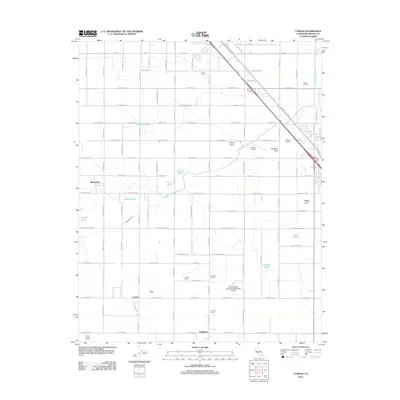
2012 Map of Conejo
USGS Topo · Published 2012About this map
The agricultural landscape of central Fresno County is defined here by a precise grid of irrigation and transport, centered on the historic settlements of Monmouth and Conejo. The Fowler Switch Canal and Elkhorn Ditch cut diagonally across the rigid section lines, reflecting the vital water infrastructure necessary for the region's productive agricultural operations. Family-named agricultural sites such as Nash Farms, Leyland Farms, and A-G Sod Farms populate the southern half of the quadrangle, illustrating the enduring legacy of local land ownership and farming history.
Find a feature on this map
64 named features on this map. Tap any name to fly to it.
Don’t see what you’re looking for? This feature index may not catch every label — zoom into the map to look around manually.
Map Details
Editions of this 2012 Conejo Map
This is the sole edition of this map. No revisions or reprints were ever made.
Other maps of this area

1923 · Malaga
USGS Topo · 1:31,680

1923 · Fresno
USGS Topo · 1:31,680

1923 · Sanger
USGS Topo · 1:31,680

1924 · Riverdale
USGS Topo · 1:31,680

1924 · Selma
USGS Topo · 1:31,680

1924 · Conejo
USGS Topo · 1:31,680

1925 · Caruthers
USGS Topo · 1:31,680

1926 · Burris Park
USGS Topo · 1:31,680

1927 · Laton
USGS Topo · 1:31,680

1927 · Riverdale
USGS Topo · 1:31,680