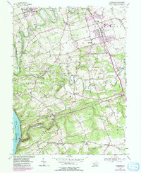
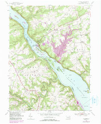
1955 Map of Conestoga
USGS Topo · Published 1991About this map
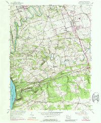
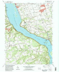
The Conestoga River and Pequea Creek define the landscape south of Lancaster, winding through a patchwork of farming townships and small hamlets. This mid-century survey reveals a transition from the academic campus of the State Teachers College in Millersville to the industrial and natural corridors of the south. Evidence of early commerce remains visible at Martic Forge and Burnt Mills, while the name Silver Mine Run hints at the mineral history of the region.
Find a feature on this map
65 named features on this map. Tap any name to fly to it.
Don’t see what you’re looking for? This feature index may not catch every label — zoom into the map to look around manually.
Map Details
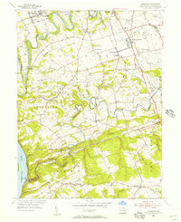
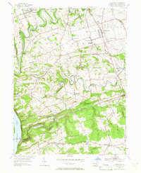
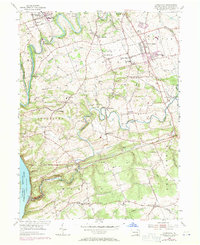
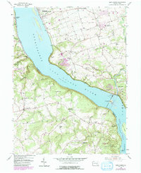
Editions of this 1955 Conestoga Map
7 editions found

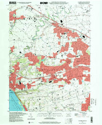
Historical Maps of West Lampeter Township Through Time
16 maps found
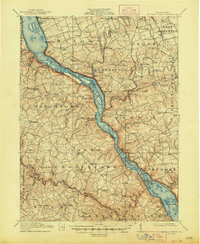
1912 Mc Calls Ferry
Lancaster County, PA
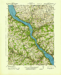
1943 McCalls Ferry
Lancaster County, PA
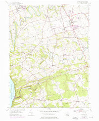
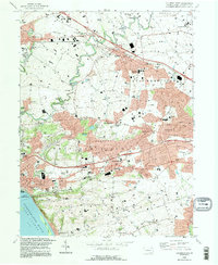
1955 Conestoga
Lancaster County, PA
1955 Holtwood
Lancaster County, PA
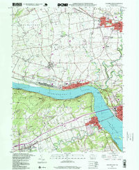
1955 Safe Harbor
Lancaster County, PA
1956 Columbia East
Lancaster County, PA
1964 Columbia West
Lancaster County, PA
1995 Columbia East
Lancaster County, PA
1995 Safe Harbor
Lancaster County, PA
1997 Columbia East
Lancaster County, PA
1997 Columbia West
Lancaster County, PA
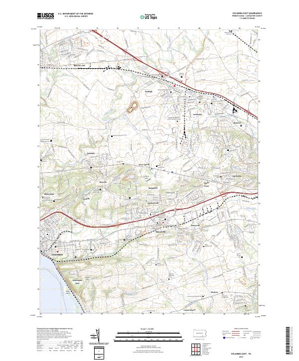
2023 Columbia East
Lancaster County, PA
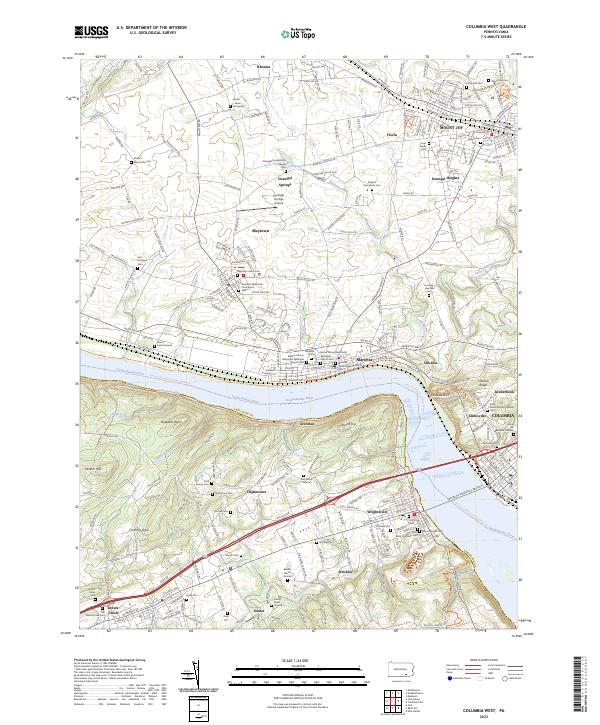
2023 Columbia West
Lancaster County, PA
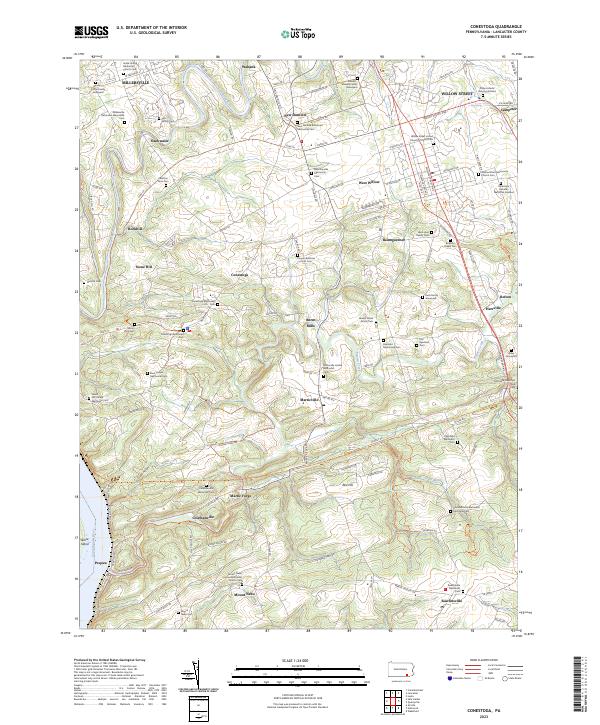
2023 Conestoga
Lancaster County, PA
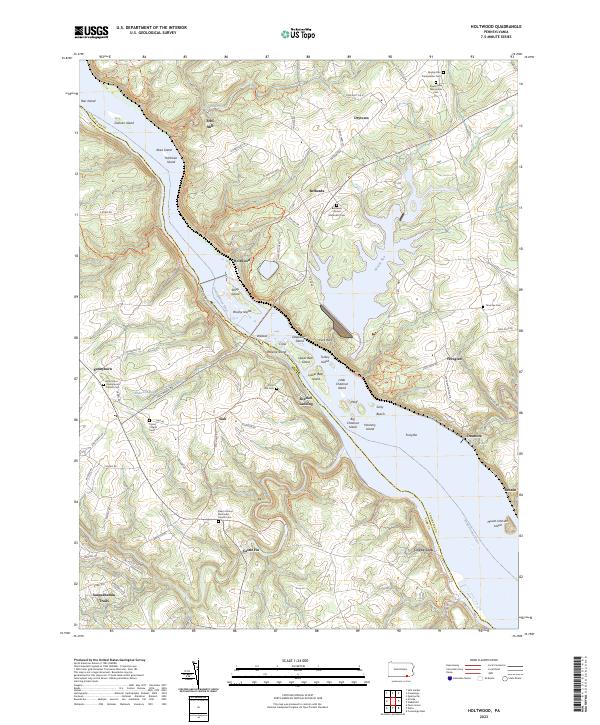
2023 Holtwood
Lancaster County, PA
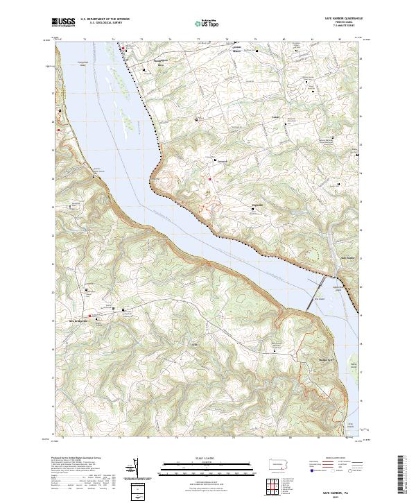
2023 Safe Harbor
Lancaster County, PA
Featured Locations
- Millersville, PA
- Conestoga Township, PA
- West Lampeter Township, PA
- Pequea, Conestoga Township
- Willow Street, West Lampeter Township