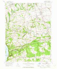
1955 Map of Conestoga
USGS Topo · Published 1965About this map
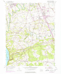
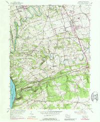
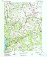
Pequea Creek and the Conestoga Creek dominate this mid-century landscape south of Lancaster, winding through a network of small farming communities and historic crossroad settlements. The map illustrates a rural area transitioning between traditional agriculture and modern development, anchored by the State Teachers College in Millersville and industrial legacy sites like Martic Forge. Inland, the terrain is dotted with country churches such as Boehm Ch and Byerland Ch, serving as focal points for local townships.
Find a feature on this map
61 named features on this map. Tap any name to fly to it.
Don’t see what you’re looking for? This feature index may not catch every label — zoom into the map to look around manually.
Map Details
Editions of this 1955 Conestoga Map
7 editions found
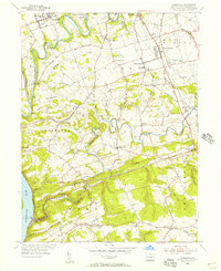
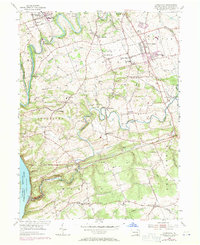
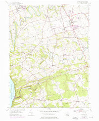
Other maps of this area

1902 · Lancaster
USGS Topo · 1:62,500

1904 · Lancaster
USGS Topo · 1:62,500

1906 · New Holland
USGS Topo · 1:62,500

1908 · New Holland
USGS Topo · 1:62,500

1912 · Quarryville
USGS Topo · 1:62,500

1912 · Mc Calls Ferry
USGS Topo · 1:62,500

1941 · New Holland
USGS Topo · 1:62,500

1943 · Lancaster
USGS Topo · 1:62,500

1943 · Quarryville
USGS Topo · 1:62,500

1943 · Mc Calls Ferry
USGS Topo · 1:62,500
Featured Places
- West Lampeter Township, PA
- Willow Street, West Lampeter Township
- Millersville, PA
- Pequea, Conestoga Township
- Conestoga Township, PA