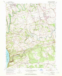
1955 Map of Conestoga
USGS Topo · Published 1971About this map
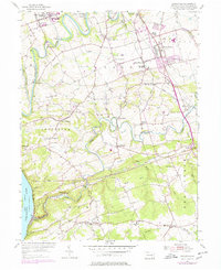
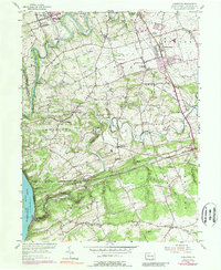
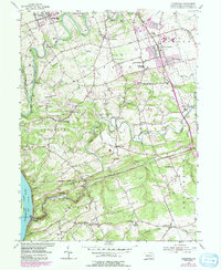
Millersville and its State Teachers College anchor the northern edge of this Lancaster County landscape, where the Conestoga River winds southward toward the Holtwood Reservoir. The map illustrates a rural society organized around crossroads communities and numerous country sanctuaries, including New Danville Ch, Byerland Ch, and River Corner Ch. In the southern reaches, the Penn Central rail lines trace the steep contours near the Susquehanna River, passing through industrial and historic points like Martic Forge and Colemanville. The terrain is defined by the deep incisions of Pequea Creek and its many tributaries, such as Silver Mine Run and Climbers Run, which historically supported early local industries. From the suburban expansion near Willow Street to the high ground of Mt Nebo, the map documents the persistent agricultural and spiritual centers of Manor and Martic townships.
Find a feature on this map
64 named features on this map. Tap any name to fly to it.
Don’t see what you’re looking for? This feature index may not catch every label — zoom into the map to look around manually.
Map Details
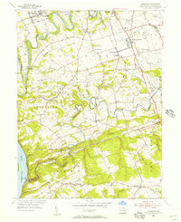
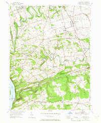
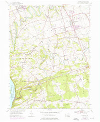
Editions of this 1955 Conestoga Map
7 editions found
Other maps of this area

1902 · Lancaster
USGS Topo · 1:62,500

1904 · Lancaster
USGS Topo · 1:62,500

1906 · New Holland
USGS Topo · 1:62,500

1908 · New Holland
USGS Topo · 1:62,500

1912 · Quarryville
USGS Topo · 1:62,500

1912 · Mc Calls Ferry
USGS Topo · 1:62,500

1941 · New Holland
USGS Topo · 1:62,500

1943 · Lancaster
USGS Topo · 1:62,500

1943 · Quarryville
USGS Topo · 1:62,500

1943 · Mc Calls Ferry
USGS Topo · 1:62,500
Featured Places
- West Lampeter Township, PA
- Willow Street, West Lampeter Township
- Millersville, PA
- Pequea, Conestoga Township
- Conestoga Township, PA