2021 Map of Congress
USGS Topo · Published 2021About this map
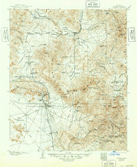
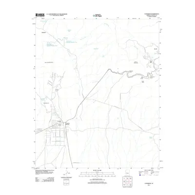
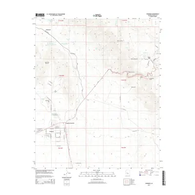
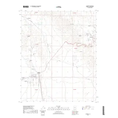
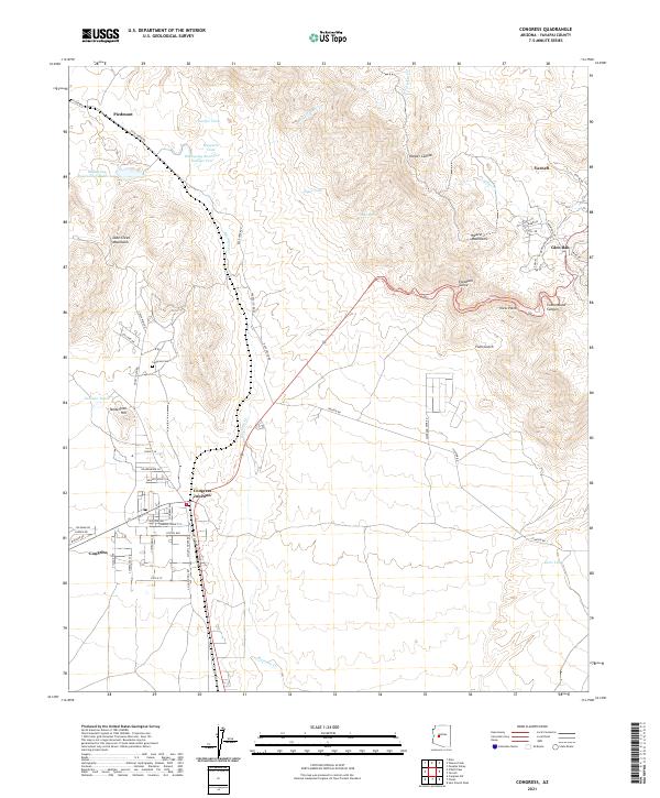
Congress and the neighboring rail-aligned Congress Junction serve as the primary focus of this Yavapai County landscape, where the flat basin floor meets the steep ascent of the Date Creek Mountains and Weaver Mountains. The geography is defined by its water management and mining legacy, visible through features like Billingsley Reservoir Number Two, Sawyer Tank, and Ziger Spring. Local transport and residential development wrap around the base of Tenderfoot Hill, while the historic Congress Cem remains a quiet landmark north of the town center. To the northeast, the elevation climbs sharply toward the settlements of Yarnell and Glen Ilah, tucked into the higher terrain near Cottonwood Canyon. The map reveals a complex network of ranching and mining infrastructure, from the winding path of Martinez Creek to the many isolated tanks and reservoirs supporting life in this arid region.
Find a feature on this map
63 named features on this map. Tap any name to fly to it.
Don’t see what you’re looking for? This feature index may not catch every label — zoom into the map to look around manually.
Map Details
Editions of this 2021 Congress Map
This is the sole edition of this map. No revisions or reprints were ever made.
Historical Maps of Congress Through Time
7 maps found