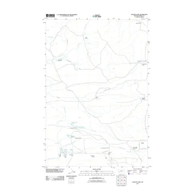
2011 Map of Conleys Lake
USGS Topo · Published 2011About this map
The Montana State Prison and its associated State Prison Ranch Number 1 dominate the southern portion of this Powell County landscape, reflecting the long-standing institutional history of the Deer Lodge area. The map illustrates a highly managed water system essential for high-altitude ranching, featuring an intricate network of man-made structures including Rock Creek Lake Dam, Upper Taylor Dam, and Mud Lake Dam. These reservoirs feed various irrigation channels like Brand Ditch and Pauly Ditch, which support agricultural operations such as the Spring Ranch and Williams and Tavenner Ranch. Historical transit routes are preserved through labels like Old Stage Rd, while the eastern edge transition toward the valley floor is marked by the Deer Lodge-City-County Airport and the Hillcrest Cemetery.
Find a feature on this map
40 named features on this map. Tap any name to fly to it.
Don’t see what you’re looking for? This feature index may not catch every label — zoom into the map to look around manually.
Map Details
Editions of this 2011 Conleys Lake Map
This is the sole edition of this map. No revisions or reprints were ever made.
Other maps of this area

1889 · Helena
USGS Topo · 1:250,000

1893 · Helena
USGS Topo · 1:250,000

1899 · Helena
USGS Topo · 1:250,000

1903 · Helena
USGS Topo · 1:250,000

1947 · Butte
USGS Topo · 1:250,000

1958 · Butte
USGS Topo · 1:250,000

1958 · Avon
USGS Topo · 1:62,500

1958 · Garrison
USGS Topo · 1:62,500

1959 · Deer Lodge
USGS Topo · 1:62,500

1960 · Butte
USGS Topo · 1:250,000