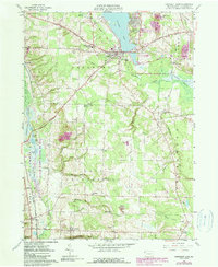
1959 Map of Conneaut Lake
USGS Topo · Published 1990About this map
Conneaut Lake anchors this western Pennsylvania landscape, serving as a focal point for the surrounding townships of Sadsbury, Greenwood, and East Fallowfield. The 1950s infrastructure reveals a community in transition, where the Bessemer and Lake Erie Railroad and the Grand Army of the Republic Highway converge near the borough. Local life is documented through numerous family-named landmarks and rural institutions, including Lakeview Cem, Mushrush Cem, and the Township Sch. To the east, the landscape shows signs of industrial recovery with several Reclaimed Strip Mines noted near West Vernon. The presence of the Drive-in Theater and Conneaut Lake Airport reflects mid-century recreation and travel patterns, while the expansive Conneaut Marsh and Pymatuning State Park define the western boundaries of the survey area.
Find a feature on this map
52 named features on this map. Tap any name to fly to it.
Don’t see what you’re looking for? This feature index may not catch every label — zoom into the map to look around manually.
Map Details
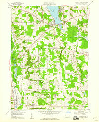
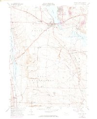
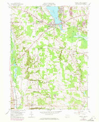
Editions of this 1959 Conneaut Lake Map
4 editions found
Other maps of this area

1906 · Linesville
USGS Topo · 1:62,500

1908 · Shenango
USGS Topo · 1:62,500

1908 · Linesville
USGS Topo · 1:62,500

1911 · Stoneboro
USGS Topo · 1:62,500

1913 · Stoneboro
USGS Topo · 1:62,500

1923 · Meadville
USGS Topo · 1:62,500

1925 · Meadville
USGS Topo · 1:62,500

1943 · Meadville
USGS Topo · 1:62,500

1943 · Stoneboro
USGS Topo · 1:62,500

1950 · Cleveland
USGS Topo · 1:250,000
Featured Places
- Conneaut Lake, PA
- West Fallowfield Township, PA
- West Vernon, PA
- East Fallowfield Township, PA
- Adamsville, PA