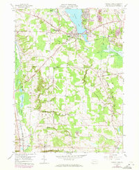
1959 Map of Conneaut Lake
USGS Topo · Published 1972About this map
Conneaut Lake serves as the focal point for this survey of Crawford County, where the transition from recreation to agriculture is clearly visible. The borough of Conneaut Lake at the southern tip of the lake is a bustling hub connected by the Grand Army of the Republic Highway, while a Drive-in Theater and the Conneaut Lake Airport reflect mid-century infrastructure. Further south, the landscape opens into the townships of Sadbury and East Fallowfield, defined by small hamlets like Shermansville and Atlantic.
Find a feature on this map
52 named features on this map. Tap any name to fly to it.
Don’t see what you’re looking for? This feature index may not catch every label — zoom into the map to look around manually.
Map Details
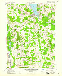
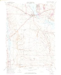
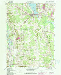
Editions of this 1959 Conneaut Lake Map
4 editions found
Other maps of this area

1906 · Linesville
USGS Topo · 1:62,500

1908 · Shenango
USGS Topo · 1:62,500

1908 · Linesville
USGS Topo · 1:62,500

1911 · Stoneboro
USGS Topo · 1:62,500

1913 · Stoneboro
USGS Topo · 1:62,500

1923 · Meadville
USGS Topo · 1:62,500

1925 · Meadville
USGS Topo · 1:62,500

1943 · Meadville
USGS Topo · 1:62,500

1943 · Stoneboro
USGS Topo · 1:62,500

1950 · Cleveland
USGS Topo · 1:250,000
Featured Places
- Conneaut Lake, PA
- West Fallowfield Township, PA
- West Vernon, PA
- East Fallowfield Township, PA
- Adamsville, PA