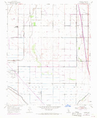
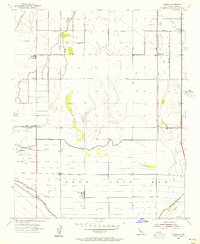
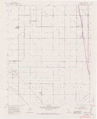
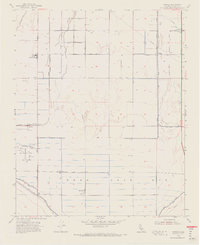
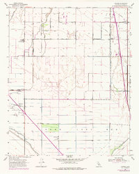
1954 Map of Conner
USGS Topo · Published 1970About this map
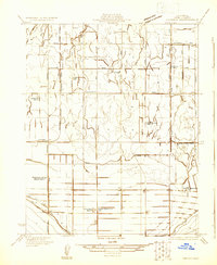
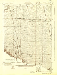
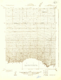
The dry expanse of the Kern Lake Bed dominates this portion of the southern San Joaquin Valley, illustrating a landscape heavily modified for agriculture and energy production. While a small remnant of Kern Lake remains, the surrounding grid is defined by a complex irrigation network including the Stine Canal, Panama Canal, and Kern Island Canal. This engineering allowed for the establishment of small communities like Conner and Alameda, as well as rural education centers such as Lakeside Union School and Shafter School.
Find a feature on this map
23 named features on this map. Tap any name to fly to it.
Don’t see what you’re looking for? This feature index may not catch every label — zoom into the map to look around manually.
Map Details
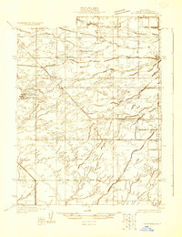
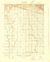
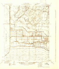
Editions of this 1954 Conner Map
5 editions found
Other maps of this area

1910 · Buena Vista Lake
USGS Topo · 1:125,000

1912 · Buena Vista Lake
USGS Topo · 1:125,000

1914 · Caliente
USGS Topo · 1:125,000
1929 · Stevens
USGS Topo · 1:31,680
1929 · Fairfax School
USGS Topo · 1:31,680

1930 · Weed Patch
USGS Topo · 1:31,680
1930 · Millux
USGS Topo · 1:31,680
1930 · Conner
USGS Topo · 1:31,680
1931 · West of Tejon Hills
USGS Topo · 1:31,680
1931 · Hayes Ranch
USGS Topo · 1:31,680