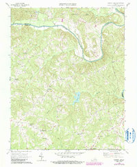
1968 Map of Conner Lake
USGS Topo · Published 1990About this map
The Roanoke River carves a dramatic oxbow through the borderlands of Charlotte Co and Halifax Co, anchoring a landscape defined by timbered ridges and rural crossroads. This 1968 survey, with later 1980s revisions, illustrates a community of small, upland tobacco-growing hamlets and family-named waypoints such as Providence, Neals Corner, and Wests Store. The terrain is dissected by numerous waterways including Turnip Creek, Buckskin Creek, and Hunting Creek, which feed into the central Conner Lake reservoir.
Find a feature on this map
24 named features on this map. Tap any name to fly to it.
Don’t see what you’re looking for? This feature index may not catch every label — zoom into the map to look around manually.
Map Details
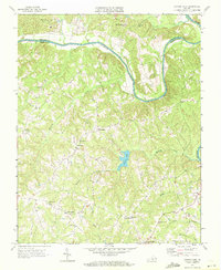
Editions of this 1968 Conner Lake Map
2 editions found
Other maps of this area

1892 · Appomattox
USGS Topo · 1:125,000

1947 · Roanoke
USGS Topo · 1:250,000

1953 · Greensboro
USGS Topo · 1:250,000

1954 · Greensboro
USGS Topo · 1:250,000

1954 · Clover
USGS Topo · 1:62,500

1954 · Halifax
USGS Topo · 1:62,500

1956 · Brookneal
USGS Topo · 1:62,500

1956 · Charlotte Court House
USGS Topo · 1:62,500

1959 · Roanoke
USGS Topo · 1:250,000

1962 · Greensboro
USGS Topo · 1:250,000