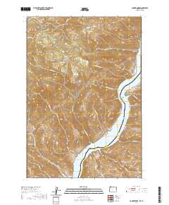
2020 Map of Connor Creek
USGS Topo · Published 2020About this map
Snake River waters define the eastern boundary of this landscape, forming the Brownlee Reservoir along the state line between Oregon and Idaho. This rugged stretch of Baker County is characterized by steep canyons and named gulches that drain toward the river, including the evocative Golden Goose Canyon and Magpie Gulch. Higher elevations to the west feature landmarks like Sugarloaf Mtn and the high-altitude Sawmill Basin, transitioning down through Quaking Aspen Flat toward the riverbanks.
Find a feature on this map
42 named features on this map. Tap any name to fly to it.
Don’t see what you’re looking for? This feature index may not catch every label — zoom into the map to look around manually.
Map Details
Editions of this 2020 Connor Creek Map
This is the sole edition of this map. No revisions or reprints were ever made.
Other maps of this area

1915 · Pine
USGS Topo · 1:125,000

1951 · Huntington
USGS Topo · 1:62,500

1952 · Olds Ferry NW
USGS Topo · 1:24,000

1952 · Olds Ferry
USGS Topo · 1:62,500

1955 · Baker
USGS Topo · 1:250,000

1957 · Durkee
USGS Topo · 1:62,500

1957 · Mineral
USGS Topo · 1:62,500

1959 · Baker
USGS Topo · 1:250,000

1980 · Brogan
USGS Topo · 1:100,000

1981 · Baker
USGS Topo · 1:100,000