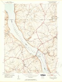
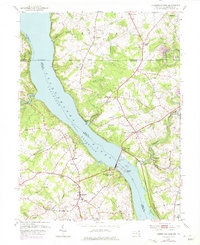
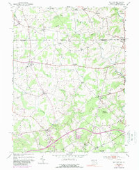
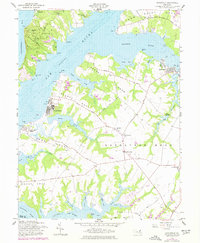
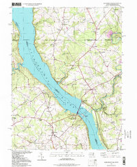
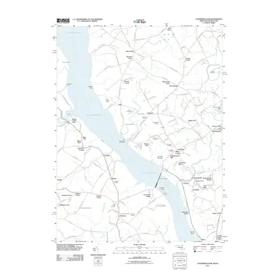
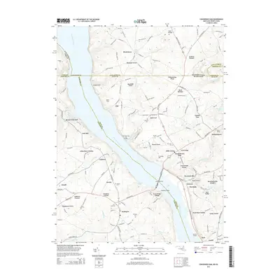
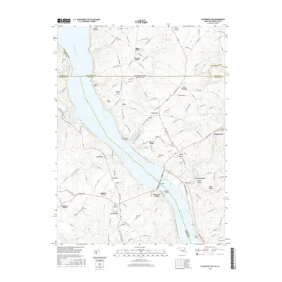
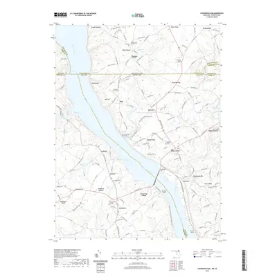
1953 Map of Conowingo Dam
USGS Topo · Published 1954About this map
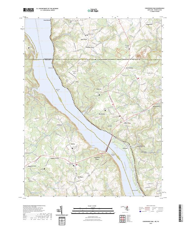
Susquehanna River Conowingo Reservoir dominates this mid-century landscape, bisecting the borderlands between Maryland and Pennsylvania. This map captures the industrial and agricultural rhythm of the area just a few decades after the massive Conowingo Dam reshaped the river valley, showing the infrastructure of the Power Plant alongside rural life. In the Cecil County interior, settlements like Rowlandsville and Conowingo (PO) are connected by the Pennsylvania Railroad, while the Harford County side features the established village of Darlington. Local history is visible in the numerous country churches such as Hosanna Ch and St Patricks Ch, and the precise survey of the Mason and Dixon Line along the northern edge. The presence of the Susquehanna Power Company RR and various quarries near Oakwood reflects the era's reliance on both rail transport and local mineral extraction.
Find a feature on this map
75 named features on this map. Tap any name to fly to it.
Don’t see what you’re looking for? This feature index may not catch every label — zoom into the map to look around manually.
Map Details
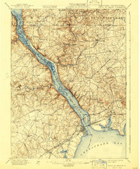
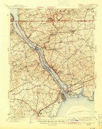
Editions of this 1953 Conowingo Dam Map
6 editions found
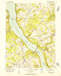
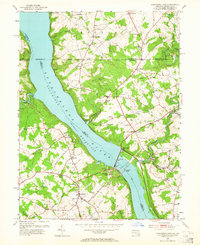
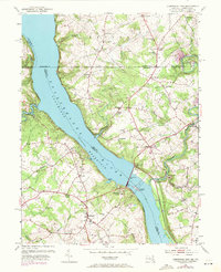
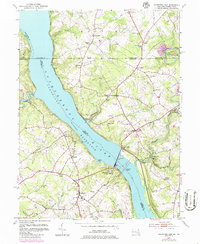
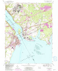
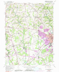
Historical Maps of Little Britain Township Through Time
34 maps found
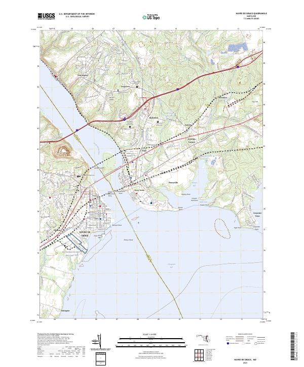
1900 Havre De Grace
Cecil County, MD
1942 Havre De Grace
Cecil County, MD
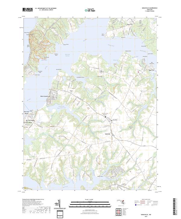
1944 Earleville
Cecil County, MD
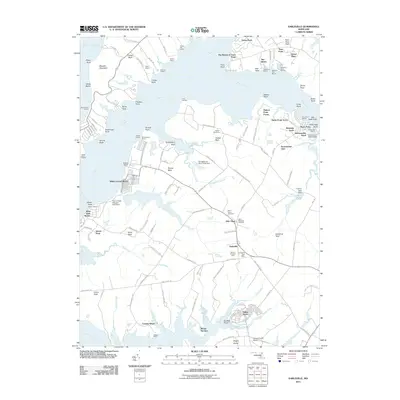
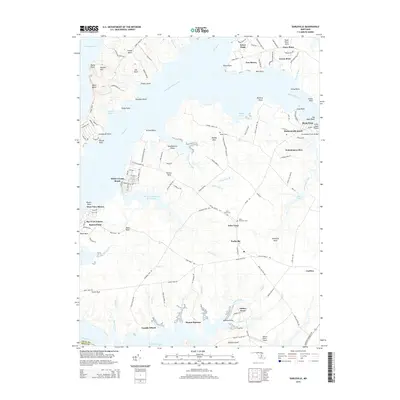
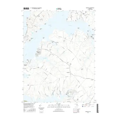
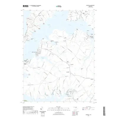
1953 Bay View
Cecil County, MD
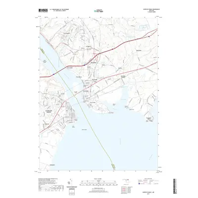
1953 Conowingo Dam
Cecil County, MD
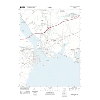
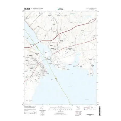
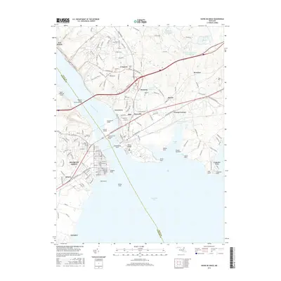
1953 Havre De Grace
Cecil County, MD
1953 Newark West
Cecil County, MD
1958 Earleville
Cecil County, MD
1992 Bay View
Cecil County, MD
1992 Conowingo Dam
Cecil County, MD
1992 Havre De Grace
Cecil County, MD
1995 Conowingo Dam
Cecil County, MD
1997 Bay View
Cecil County, MD
1998 Havre De Grace
Cecil County, MD
2011 Bay View
Cecil County, MD
2011 Conowingo Dam
Cecil County, MD
2011 Earleville
Cecil County, MD
2011 Havre De Grace
Cecil County, MD
2014 Bay View
Cecil County, MD
2014 Conowingo Dam
Cecil County, MD
2014 Earleville
Cecil County, MD
2014 Havre De Grace
Cecil County, MD
2016 Bay View
Cecil County, MD
2016 Conowingo Dam
Cecil County, MD
2016 Earleville
Cecil County, MD
2016 Havre De Grace
Cecil County, MD
2019 Bay View
Cecil County, MD
2019 Conowingo Dam
Cecil County, MD
2019 Earleville
Cecil County, MD
2019 Havre De Grace
Cecil County, MD
2023 Bay View
Cecil County, MD
2023 Conowingo Dam
Cecil County, MD
2023 Earleville
Cecil County, MD
2023 Havre De Grace
Cecil County, MD
Featured Locations
- Poplar Grove, MD
- West Nottingham Township, PA
- Peach Bottom Township, PA
- Little Britain Township, PA
- Jenkins Corner, Fulton Township