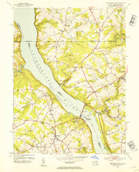
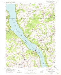
1953 Map of Conowingo Dam
USGS Topo · Published 1954About this map
Conowingo Dam and its expansive Conowingo Reservoir dominate this 1953 landscape, marking a significant era of hydroelectric development on the border of Maryland and Pennsylvania. The map meticulously traces the historic Mason and Dixon Line, which divides the northern settlements of Pleasant Grove and Rock Springs from the Darlington and Berkley areas to the south. This survey captures the infrastructure of the mid-century river economy, featuring the Power Plant, the Pennsylvania Railroad corridor, and station stops like Conowingo Sta and Pilot Sta.
Find a feature on this map
69 named features on this map. Tap any name to fly to it.
Don’t see what you’re looking for? This feature index may not catch every label — zoom into the map to look around manually.
Map Details
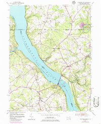
Editions of this 1953 Conowingo Dam Map
6 editions found
Other maps of this area

1900 · Havre De Grace
USGS Topo · 1:62,500

1901 · Belair
USGS Topo · 1:62,500

1912 · Quarryville
USGS Topo · 1:62,500

1912 · Mc Calls Ferry
USGS Topo · 1:62,500

1942 · Havre De Grace
USGS Topo · 1:62,500

1942 · Bel Air
USGS Topo · 1:62,500

1943 · Quarryville
USGS Topo · 1:62,500

1943 · Mc Calls Ferry
USGS Topo · 1:62,500

1945 · Bel Air
USGS Topo · 1:62,500

1948 · Baltimore
USGS Topo · 1:250,000
Featured Places
- Little Britain Township, PA
- Poplar Grove, MD
- West Nottingham Township, PA
- Peach Bottom Township, PA
- Jenkins Corner, Fulton Township