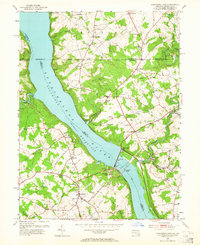
1953 Map of Conowingo Dam
USGS Topo · Published 1964About this map
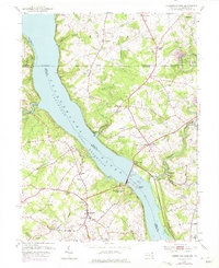
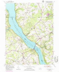
The Susquehanna River Conowingo Reservoir dominates this mid-century landscape, anchored by the massive Conowingo Dam and its adjacent Power Plant. This 1953 revision documents the industrial and rural infrastructure of the Cecil and Harford County borderlands, including the operations of the Conowingo Power Company. The historic Mason And Dixon Line cuts across the northern portion of the sheet, separating the rolling hills of Maryland from Pennsylvania settlements like Peach Bottom and Wrightsdale. Away from the river, the map reveals a dense network of country crossroads and religious life, featuring numerous small congregations such as Hosanna Ch, St Patricks Ch, and Grace Ch. Transportation patterns are evidenced by the Conowingo Sta and Pilot Sta, while local commerce centers around the Conowingo Post Office and established towns like Darlington and Berkley. Genealogists will find significant value in the detailed placement of family-named cemeteries, including Rigby Cem and Coopers Cem.
Find a feature on this map
70 named features on this map. Tap any name to fly to it.
Don’t see what you’re looking for? This feature index may not catch every label — zoom into the map to look around manually.
Map Details
Editions of this 1953 Conowingo Dam Map
6 editions found
Other maps of this area

1900 · Havre De Grace
USGS Topo · 1:62,500

1901 · Belair
USGS Topo · 1:62,500

1912 · Quarryville
USGS Topo · 1:62,500

1912 · Mc Calls Ferry
USGS Topo · 1:62,500

1942 · Havre De Grace
USGS Topo · 1:62,500

1942 · Bel Air
USGS Topo · 1:62,500

1943 · Quarryville
USGS Topo · 1:62,500

1943 · Mc Calls Ferry
USGS Topo · 1:62,500

1945 · Bel Air
USGS Topo · 1:62,500

1948 · Baltimore
USGS Topo · 1:250,000
Featured Places
- Little Britain Township, PA
- Poplar Grove, MD
- West Nottingham Township, PA
- Peach Bottom Township, PA
- Jenkins Corner, Fulton Township