
1967 Map of Conrad Butte
USGS Topo · Published 1970About this map
Whoop Up Trail cuts across this high plains landscape, marking a historic transportation corridor through the northern Montana grasslands. The map reveals a transition between the deeply eroded breaks of the Marias River and the flatter benchlands to the south. Along the northern edge, the river flows into the Tiber Reservoir, where the water gathers against the rising canyon walls. The terrain is defined by dramatic elevation shifts, from the low riverbed up to landmarks like Conrad Butte and the broad expanses of Atkinson Flat and Tank Flat. Small rural schoolhouses, including Union Sch and Higgins Sch, are scattered across the section lines, indicating the distributed nature of local ranching communities in the mid-1960s. Boundary lines for the Toole Co and Pondera Co border and the Montana Principal Meridian provide a precise framework for the region's cadastral layout.
Find a feature on this map
13 named features on this map. Tap any name to fly to it.
Don’t see what you’re looking for? This feature index may not catch every label — zoom into the map to look around manually.
Map Details
Editions of this 1967 Conrad Butte Map
This is the sole edition of this map. No revisions or reprints were ever made.
Other maps of this area

1920 · Conrad
USGS Topo · 1:125,000

1954 · Shelby
USGS Topo · 1:250,000

1958 · Shelby
USGS Topo · 1:250,000

1967 · Central School
USGS Topo · 1:24,000

1967 · Naismith
USGS Topo · 1:24,000

1967 · South Devon School
USGS Topo · 1:24,000

1967 · Dunkirk
USGS Topo · 1:24,000

1967 · Fowler Coulee NW
USGS Topo · 1:24,000
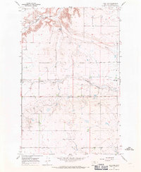
1967 · Letz Lake
USGS Topo · 1:24,000
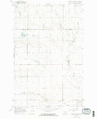
1967 · Fowler Coulee NE
USGS Topo · 1:24,000