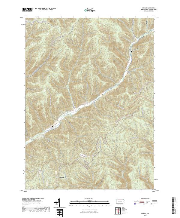
2023 Map of Conrad
USGS Topo · Published 2023About this map
Conrad and the surrounding high country of the East Fork Sinnemahoning Creek valley are defined by a dense network of forest roads and historic hollows. This area of Potter County shows a landscape heavily utilized for recreation and resource management, with the Susquehannock Trail System and various snowmobile trails winding through the ridges. The map highlights small, isolated settlements like Logue and Five Points, alongside reminders of early community life such as McFall Cem and Brooks Cem.
Find a feature on this map
63 named features on this map. Tap any name to fly to it.
Don’t see what you’re looking for? This feature index may not catch every label — zoom into the map to look around manually.
Map Details
Editions of this 2023 Conrad Map
This is the sole edition of this map. No revisions or reprints were ever made.
Other maps of this area

1945 · Driftwood
USGS Topo · 1:48,000

1945 · First Fork
USGS Topo · 1:24,000

1946 · Renovo West
USGS Topo · 1:62,500

1946 · Hammersley Fork
USGS Topo · 1:24,000

1946 · Tamarack
USGS Topo · 1:24,000

1947 · First Fork
USGS Topo · 1:24,000

1947 · Conrad
USGS Topo · 1:62,500

1947 · Conrad
USGS Topo · 1:24,000

1947 · Short Run
USGS Topo · 1:24,000

1947 · Ayers Hill
USGS Topo · 1:24,000
Featured Places
- Wharton Township, PA
- Summit Township, PA
- Five Points, Wharton Township
- Jamison, Wharton Township
- Logue, Wharton Township