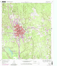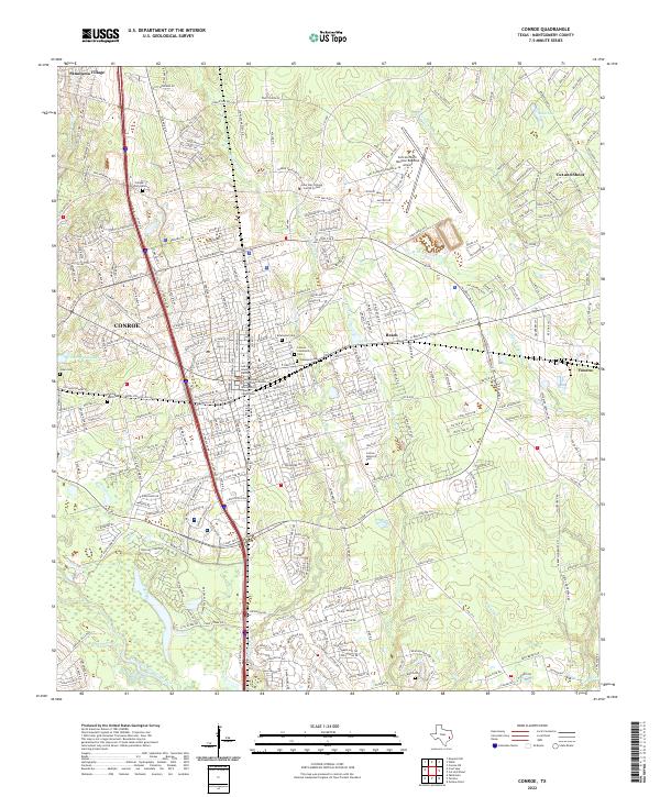
1985 Map of Conroe
USGS Topo · Published 1992About this map
Conroe Oil Field defines the industrial character of this mid-1980s landscape, illustrating the intensive resource extraction that shaped Montgomery County. The map captures a period of significant suburban expansion north of Houston, where older rail-oriented settlements like Tomball and Magnolia began to interface with newer developments such as Panorama Village and Shenandoah. The hydrological importance of the region is evident in the sprawling Lake Conroe and the headwaters of Lake Houston, linked by the winding West Fork San Jacinto River. Conservation and timber management are represented by the extensive reach of the Sam Houston National Forest and the W.G. Jones State Forest. Transportation networks show a complex overlay of heavy rail lines, including the Missouri Pacific RR and Santa Fe RR, alongside the burgeoning highway system that fueled the era's growth.
Find a feature on this map
129 named features on this map. Tap any name to fly to it.
Don’t see what you’re looking for? This feature index may not catch every label — zoom into the map to look around manually.
Map Details
Editions of this 1985 Conroe Map
2 editions found

Historical Maps of Houston Through Time
3 maps found