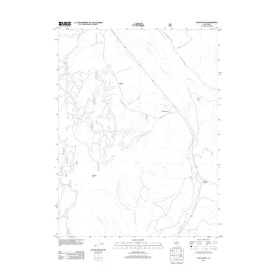
2012 Map of Constantia
USGS Topo · Published 2012About this map
Omira and Constantia sit along the high desert corridor of eastern Lassen County, marking a landscape defined by seasonal watercourses and thermal activity. This 2012 survey captures the drainage patterns of Long Valley Cr as it flows southeast toward Red Rock Canyon, flanked by the arid expanse of Dry Valley. The presence of Zamboni Hot Springs near the canyon's edge highlights the geothermal character of this Great Basin transition zone, while Adams Peak provides a significant topographic anchor to the west.
Find a feature on this map
24 named features on this map. Tap any name to fly to it.
Don’t see what you’re looking for? This feature index may not catch every label — zoom into the map to look around manually.
Map Details
Editions of this 2012 Constantia Map
This is the sole edition of this map. No revisions or reprints were ever made.
Other maps of this area

1886 · Honey Lake
USGS Topo · 1:250,000

1886 · Granite Range
USGS Topo · 1:250,000

1890 · Sierraville
USGS Topo · 1:125,000

1891 · Honey Lake
USGS Topo · 1:250,000

1891 · Reno
USGS Topo · 1:125,000

1892 · Sierraville
USGS Topo · 1:125,000

1893 · Honey Lake
USGS Topo · 1:250,000

1893 · Reno
USGS Topo · 1:125,000

1894 · Granite Range
USGS Topo · 1:250,000

1894 · Sierraville
USGS Topo · 1:125,000