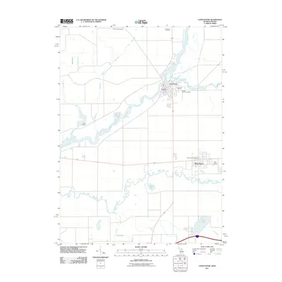
2011 Map of Constantine
USGS Topo · Published 2011About this map
The Saint Joseph River and Pigeon River define this corner of Saint Joseph County, where the settlement of Constantine sits at the confluence with the Fawn River. This 2011 survey illustrates a landscape of established agriculture and managed water, with intricate drainage systems like Love Joy Ditch and Hassinger Drain crisscrossing the plains. Genealogy researchers can find several historic burial grounds, including the Brick Chapel Cemetery to the north and the Pioneer Memorial Cemetery near the heart of the village. To the south, the village of White Pigeon serves as another focal point, accompanied by the Saint Joseph Cemetery. The map captures the continued importance of these riverside communities and their surrounding rural infrastructure, from the Constantine Post Office to the isolated wetlands near Stag Lake.
Find a feature on this map
20 named features on this map. Tap any name to fly to it.
Don’t see what you’re looking for? This feature index may not catch every label — zoom into the map to look around manually.
Map Details
Editions of this 2011 Constantine Map
This is the sole edition of this map. No revisions or reprints were ever made.
Other maps of this area

1914 · Three Rivers
USGS Topo · 1:62,500

1916 · Three Rivers
USGS Topo · 1:62,500

1943 · Three Rivers
USGS Topo · 1:62,500

1948 · Vandalia
USGS Topo · 1:62,500

1949 · Vandalia
USGS Topo · 1:62,500

1953 · Fort Wayne
USGS Topo · 1:250,000

1956 · Fort Wayne
USGS Topo · 1:250,000
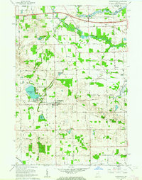
1961 · Shipshewana
USGS Topo · 1:24,000
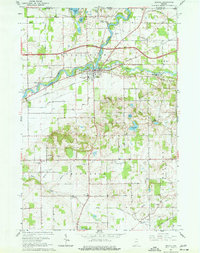
1961 · Bristol
USGS Topo · 1:24,000
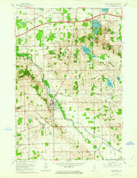
1961 · Middlebury
USGS Topo · 1:24,000
Featured Places
- Constantine, MI
- White Pigeon, MI
- Constantine Township, MI
- White Pigeon Township, MI
- Florence Township, MI