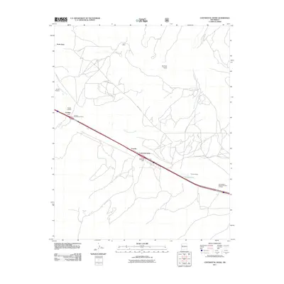
2011 Map of Continental Divide
USGS Topo · Published 2011About this map
The Continental Divide crests this high-desert landscape in McKinley County, marking a critical geographic threshold where water drainage splits toward different oceans. The modern transportation corridor defined by I-40 and the Frontage Rd follows the ancient path of least resistance across the plateau, connecting small settlements like Coolidge and Gonzales. Historical depth is evident at the Coolidge Archaeological District, which preserves traces of much earlier inhabitants long before the arrival of the railroad and interstate.
Find a feature on this map
19 named features on this map. Tap any name to fly to it.
Don’t see what you’re looking for? This feature index may not catch every label — zoom into the map to look around manually.
Map Details
Editions of this 2011 Continental Divide Map
This is the sole edition of this map. No revisions or reprints were ever made.
Other maps of this area

1886 · Wingate
USGS Topo · 1:250,000

1892 · Wingate
USGS Topo · 1:250,000

1954 · Gallup
USGS Topo · 1:250,000

1958 · Gallup
USGS Topo · 1:250,000

1959 · Gallup
USGS Topo · 1:250,000

1961 · Cottonwood Canyon
USGS Topo · 1:24,000

1962 · Gallup
USGS Topo · 1:250,000

1962 · Ciniza
USGS Topo · 1:24,000

1962 · Continental Divide
USGS Topo · 1:24,000

1962 · Cottonwood Canyon
USGS Topo · 1:24,000