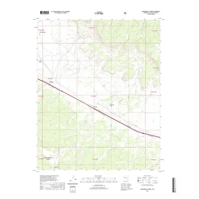
2020 Map of Continental Divide
USGS Topo · Published 2020About this map
The Continental Divide crests through this high-desert landscape of McKinley County, shaping the drainage patterns of the S Fork Puerco River. The modern transportation corridor follows the path of least resistance across the plateau, connecting the small settlements of Gonzales and Coolidge along a network of routes including Wrangler Rd and Elim Haven Rd. To the north, the terrain becomes increasingly complex around North Guam, where numerous draws and canyons like Smith Canyon and Foster Canyon cut into the mesas.
Find a feature on this map
30 named features on this map. Tap any name to fly to it.
Don’t see what you’re looking for? This feature index may not catch every label — zoom into the map to look around manually.
Map Details
Editions of this 2020 Continental Divide Map
This is the sole edition of this map. No revisions or reprints were ever made.
Other maps of this area

1886 · Wingate
USGS Topo · 1:250,000

1892 · Wingate
USGS Topo · 1:250,000

1954 · Gallup
USGS Topo · 1:250,000

1958 · Gallup
USGS Topo · 1:250,000

1959 · Gallup
USGS Topo · 1:250,000

1961 · Cottonwood Canyon
USGS Topo · 1:24,000

1962 · Gallup
USGS Topo · 1:250,000

1962 · Ciniza
USGS Topo · 1:24,000

1962 · Continental Divide
USGS Topo · 1:24,000

1962 · Cottonwood Canyon
USGS Topo · 1:24,000