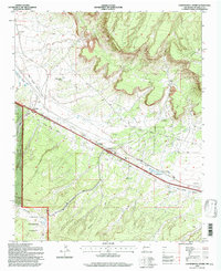
1995 Map of Continental Divide
USGS Topo · Published 1997About this map
The Continental Divide crests across this McKinley County landscape, where the high-altitude terrain of the Cibola National Forest meets the critical transportation corridors of the American Southwest. The mid-1990s settlement pattern is defined by its proximity to the Atchison Topeka and Santa Fe railroad and the Frontage Road, which connect the small communities of Coolidge and Gonzales. Local religious and civic life is anchored by the Coolidge Navajo Church and the local Post Office at the divide itself.
Find a feature on this map
27 named features on this map. Tap any name to fly to it.
Don’t see what you’re looking for? This feature index may not catch every label — zoom into the map to look around manually.
Map Details
Editions of this 1995 Continental Divide Map
This is the sole edition of this map. No revisions or reprints were ever made.
Other maps of this area

1886 · Wingate
USGS Topo · 1:250,000

1892 · Wingate
USGS Topo · 1:250,000

1954 · Gallup
USGS Topo · 1:250,000

1958 · Gallup
USGS Topo · 1:250,000

1959 · Gallup
USGS Topo · 1:250,000

1961 · Cottonwood Canyon
USGS Topo · 1:24,000

1962 · Gallup
USGS Topo · 1:250,000

1962 · Ciniza
USGS Topo · 1:24,000

1962 · Continental Divide
USGS Topo · 1:24,000

1962 · Cottonwood Canyon
USGS Topo · 1:24,000