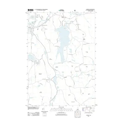
2012 Map of Conway
USGS Topo · Published 2012About this map
Conway Lake dominates the central portion of this Carroll County landscape, serving as a focal point for the surrounding mountain ranges and small valley settlements. The terrain is defined by a series of prominent peaks, including Atkinson Mountain, Rockhouse Mountain, and Lyman Mountain, which channel the flow of numerous waterways like Snow Brook and Page Randall Brook. The area's cultural history is marked by established village centers such as Center Conway and Snowville, while the northern reaches show the influence of the Saco River and Swift River.
Find a feature on this map
123 named features on this map. Tap any name to fly to it.
Don’t see what you’re looking for? This feature index may not catch every label — zoom into the map to look around manually.
Map Details
Editions of this 2012 Conway Map
This is the sole edition of this map. No revisions or reprints were ever made.
Other maps of this area

1894 · North Conway
USGS Topo · 1:62,500

1896 · North Conway
USGS Topo · 1:62,500

1909 · Fryeburg
USGS Topo · 1:62,500

1910 · Kezar Falls
USGS Topo · 1:48,000

1911 · Fryeburg
USGS Topo · 1:62,500

1911 · Kezar Falls
USGS Topo · 1:62,500

1930 · Ossipee Lake
USGS Topo · 1:62,500

1941 · Fryeburg
USGS Topo · 1:62,500

1942 · North Conway
USGS Topo · 1:62,500

1945 · North Conway
USGS Topo · 1:62,500