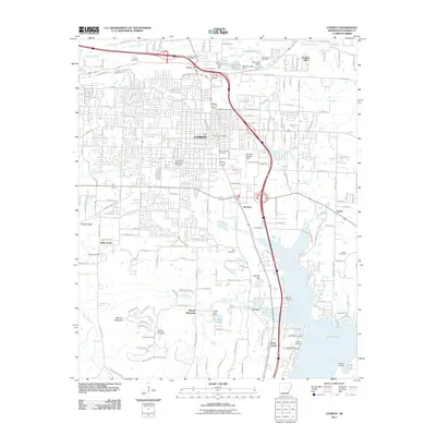
2011 Map of Conway
USGS Topo · Published 2011About this map
Conway serves as the regional hub in this 2011 survey, showing a landscape defined by significant institutional growth and water resources. The University of Central Arkansas occupies a central position west of the downtown area, while the southern reaches of the map are dominated by the extensive waters of Lake Conway. The shoreline is marked by local access points such as Brannon Landing and Bream Nest Landing, indicating the importance of the lake to local recreation and identity.
Find a feature on this map
193 named features on this map. Tap any name to fly to it.
Don’t see what you’re looking for? This feature index may not catch every label — zoom into the map to look around manually.
Map Details
Editions of this 2011 Conway Map
This is the sole edition of this map. No revisions or reprints were ever made.
Other maps of this area
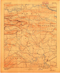
1890 · Benton
USGS Topo · 1:125,000

1891 · Little Rock
USGS Topo · 1:125,000
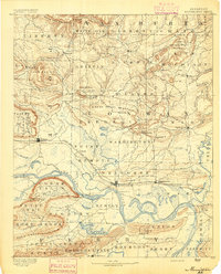
1892 · Morrillton
USGS Topo · 1:125,000

1893 · Little Rock
USGS Topo · 1:125,000
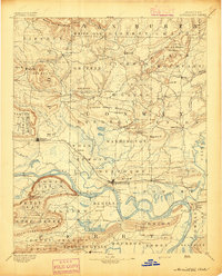
1894 · Morrillton
USGS Topo · 1:125,000
1894 · Benton
USGS Topo · 1:125,000
1953 · Cato
USGS Topo · 1:24,000
1953 · Mayflower
USGS Topo · 1:24,000

1955 · Little Rock
USGS Topo · 1:250,000

1956 · Little Rock
USGS Topo · 1:250,000