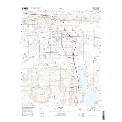
2017 Map of Conway
USGS Topo · Published 2017About this map
Hendrix Coll and the Univ of Central Arkansas anchor the northern landscape, illustrating the educational character of this regional center. The urban grid of Conway is dense with civic and religious landmarks, including Central Baptist Coll and several historic burial grounds such as Oak Grove Cem and Saint Joseph Cem. The topography transitions from the structured streets of the city to the prominent heights of Cadron Ridge and Donald Ridge, reflecting the geographical constraints that shaped the town's expansion. To the south, the terrain descends toward the vast waters of Lake Conway, where smaller communities like Gold Creek and Preston sit near the shoreline. This 2017 survey details a landscape defined by its ridges, gaps like Cadron Gap, and the essential drainage of Stone Dam Cr and Tupelo Bayou.
Find a feature on this map
54 named features on this map. Tap any name to fly to it.
Don’t see what you’re looking for? This feature index may not catch every label — zoom into the map to look around manually.
Map Details
Editions of this 2017 Conway Map
This is the sole edition of this map. No revisions or reprints were ever made.
Other maps of this area

1890 · Benton
USGS Topo · 1:125,000

1891 · Little Rock
USGS Topo · 1:125,000

1892 · Morrillton
USGS Topo · 1:125,000

1893 · Little Rock
USGS Topo · 1:125,000

1894 · Morrillton
USGS Topo · 1:125,000

1894 · Benton
USGS Topo · 1:125,000

1953 · Cato
USGS Topo · 1:24,000

1953 · Mayflower
USGS Topo · 1:24,000

1955 · Little Rock
USGS Topo · 1:250,000

1956 · Little Rock
USGS Topo · 1:250,000