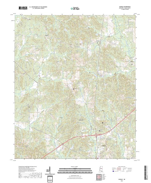
2024 Map of Conway
USGS Topo · Published 2024About this map
Carthage serves as the focal point of this Central Mississippi landscape, situated just southeast of the Carthage-Leake County Airport. The terrain is defined by a dense network of watercourses, including Pellahatchie Creek and Shiola Creek, which drain the area surrounding the prominent Government Hills. The settlement pattern reflects a deeply rooted community, with small hubs like Redwater and Conway connected by a web of local routes such as Red Dog Rd and Pleasant Grove Rd.
Find a feature on this map
88 named features on this map. Tap any name to fly to it.
Don’t see what you’re looking for? This feature index may not catch every label — zoom into the map to look around manually.
Map Details
Editions of this 2024 Conway Map
This is the sole edition of this map. No revisions or reprints were ever made.
Other maps of this area

1953 · Meridian
USGS Topo · 1:250,000

1957 · Meridian
USGS Topo · 1:250,000

1961 · Carthage
USGS Topo · 1:62,500

1962 · Edinburg
USGS Topo · 1:62,500

1962 · Thomastown
USGS Topo · 1:62,500

1965 · Meridian
USGS Topo · 1:250,000

1972 · McAfee
USGS Topo · 1:24,000

1984 · Carthage
USGS Topo · 1:100,000
1988 · Thomastown
USGS Topo · 1:24,000
1989 · Ofahoma
USGS Topo · 1:24,000