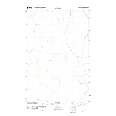
2011 Map of Conway Ridge
USGS Topo · Published 2011About this map
Conway Ridge dominates the central landscape of this Montana territory, where a sparse network of ranching and rural education defines the community structure. The map documents the presence of the Spanish Coulee School and Boston Coulee School, highlighting the distributed nature of early 21st-century settlement in this part of Cascade County. Water management is central to the area's utility, marked by the McKamey Dam on Clark Creek and various seasonal flows like Porcupine Creek and Mullens Creek.
Find a feature on this map
22 named features on this map. Tap any name to fly to it.
Don’t see what you’re looking for? This feature index may not catch every label — zoom into the map to look around manually.
Map Details
Editions of this 2011 Conway Ridge Map
This is the sole edition of this map. No revisions or reprints were ever made.
Other maps of this area

1886 · Great Falls
USGS Topo · 1:250,000

1886 · Fort Logan
USGS Topo · 1:250,000

1948 · White Sulphur Springs
USGS Topo · 1:250,000

1954 · Great Falls
USGS Topo · 1:250,000

1957 · Great Falls
USGS Topo · 1:250,000

1958 · White Sulphur Springs
USGS Topo · 1:250,000

1961 · White Sulphur Springs
USGS Topo · 1:250,000

1961 · Schrammeck Lake
USGS Topo · 1:24,000

1961 · Dana Ranch
USGS Topo · 1:24,000

1962 · B K Ranch
USGS Topo · 1:24,000