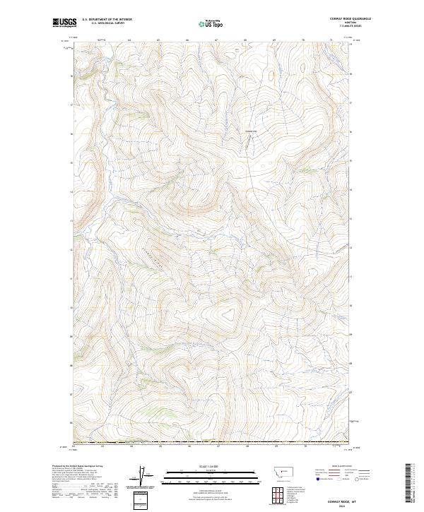
2024 Map of Conway Ridge
USGS Topo · Published 2024About this map
Conway Ridge dominates this portion of Cascade County, defining the high ground above the surrounding drainage basins. The landscape is characterized by its dramatic geological formations, most notably The Big Sag, a distinctive terrain feature that provides insight into the ancient watercourses and erosional history of this Montana region. The presence of the Missouri River underscores the area's importance as a central corridor for Western movement and natural resource management. This survey offers a contemporary look at the physical geography of the high plains, where the interplay of ridgelines and river systems has dictated land use and transportation routes for generations.
Find a feature on this map
3 named features on this map. Tap any name to fly to it.
Don’t see what you’re looking for? This feature index may not catch every label — zoom into the map to look around manually.
Map Details
Editions of this 2024 Conway Ridge Map
This is the sole edition of this map. No revisions or reprints were ever made.
Other maps of this area

1886 · Great Falls
USGS Topo · 1:250,000

1886 · Fort Logan
USGS Topo · 1:250,000

1948 · White Sulphur Springs
USGS Topo · 1:250,000

1954 · Great Falls
USGS Topo · 1:250,000

1957 · Great Falls
USGS Topo · 1:250,000

1958 · White Sulphur Springs
USGS Topo · 1:250,000

1961 · White Sulphur Springs
USGS Topo · 1:250,000

1961 · Schrammeck Lake
USGS Topo · 1:24,000

1961 · Dana Ranch
USGS Topo · 1:24,000

1962 · B K Ranch
USGS Topo · 1:24,000