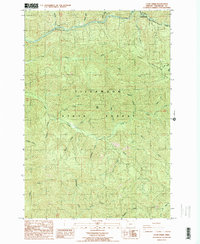
1984 Map of Cook Creek
USGS Topo · Published 1984About this map
The Southern Pacific railroad line winds through the northern canyons of the Tillamook State Forest, tracing the steep banks of the Nehalem River and the Salmonberry River. This 1984 provisional survey illustrates the dense hydrological network of the Northern Oregon Coast Range, where countless named tributaries like Cook Creek and Sibley Creek descend from high ridges such as Buck Mountain and High Butte. The terrain is defined by its isolation and verticality, with the Miami River appearing in the southwest corner. The map documents the intricate drainage patterns of the region's watersheds, including specialized features like Hatchery Creek, before modern development or major logging changes altered the forest floor's appearance.
Find a feature on this map
40 named features on this map. Tap any name to fly to it.
Don’t see what you’re looking for? This feature index may not catch every label — zoom into the map to look around manually.
Map Details
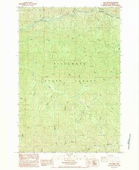
Editions of this 1984 Cook Creek Map
2 editions found
Other maps of this area

1937 · Nehalem
USGS Topo · 1:62,500

1937 · Enright
USGS Topo · 1:62,500

1939 · Saddle Mountain
USGS Topo · 1:62,500

1940 · Cape Falcon
USGS Topo · 1:62,500

1941 · Enright
USGS Topo · 1:62,500

1943 · Nehalem
USGS Topo · 1:62,500

1943 · Saddle Mtn.
USGS Topo · 1:62,500

1948 · Vancouver
USGS Topo · 1:250,000

1950 · Vancouver
USGS Topo · 1:250,000

1950 · Vancouver
USGS Topo · 1:250,000