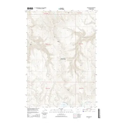
2015 Map of Cook Peak
USGS Topo · Published 2015About this map
Yellowstone National Park terrain defines this high-altitude landscape, dominated by the peaks of the Washburn Range. At the heart of the map stands Cook Peak, surrounded by a complex network of alpine drainages including Blacktail Deer Cr, Lupine Cr, and Lava Cr. The topographic detail illustrates the divide between these northward-flowing waters and the headwaters of the Gibbon River to the south.
Find a feature on this map
24 named features on this map. Tap any name to fly to it.
Don’t see what you’re looking for? This feature index may not catch every label — zoom into the map to look around manually.
Map Details
Editions of this 2015 Cook Peak Map
This is the sole edition of this map. No revisions or reprints were ever made.
Other maps of this area

1885 · Gallatin
USGS Topo · 1:125,000

1885 · Gallatin
USGS Topo · 1:125,000

1886 · Canyon
USGS Topo · 1:125,000

1895 · Canyon
USGS Topo · 1:125,000

1896 · Canyon
USGS Topo · 1:125,000

1901 · Canyon
USGS Topo · 1:125,000

1901 · Gallatin
USGS Topo · 1:125,000

1907 · Canyon
USGS Topo · 1:125,000

1908 · Gallatin
USGS Topo · 1:125,000

1911 · Gallatin
USGS Topo · 1:125,000