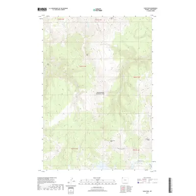
2017 Map of Cook Peak
USGS Topo · Published 2017About this map
Park County, Wyoming, is home to a portion of Yellowstone National Park shown here in the 2010s. The drainage of Lupine Cr and Blacktail Deer Cr carves through the high terrain, illustrating the hydrologic network of this protected landscape. This modern survey reflects the contemporary boundaries and topographical management of the federal park system in the Northwest. While largely undeveloped, the map details the subtle natural landmarks and water courses that define this portion of the interior plateau, serving as a primary record of the terrain as it exists in the 21st century.
Find a feature on this map
2 named features on this map. Tap any name to fly to it.
Don’t see what you’re looking for? This feature index may not catch every label — zoom into the map to look around manually.
Map Details
Editions of this 2017 Cook Peak Map
This is the sole edition of this map. No revisions or reprints were ever made.
Other maps of this area

1885 · Gallatin
USGS Topo · 1:125,000

1885 · Gallatin
USGS Topo · 1:125,000

1886 · Canyon
USGS Topo · 1:125,000

1895 · Canyon
USGS Topo · 1:125,000

1896 · Canyon
USGS Topo · 1:125,000

1901 · Canyon
USGS Topo · 1:125,000

1901 · Gallatin
USGS Topo · 1:125,000

1907 · Canyon
USGS Topo · 1:125,000

1908 · Gallatin
USGS Topo · 1:125,000

1911 · Gallatin
USGS Topo · 1:125,000