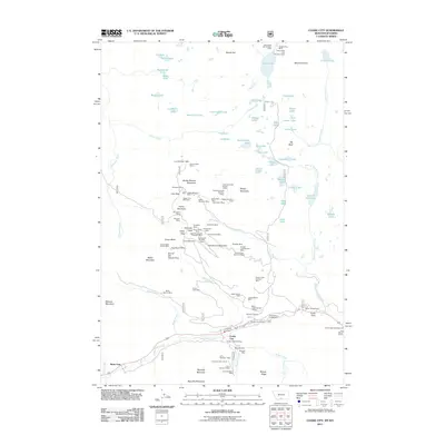
2011 Map of Cooke City
USGS Topo · Published 2011About this map
Cooke City and Silver Gate serve as the primary gateways to this mountain mining landscape, located at the high-altitude junction of Montana and Wyoming. The map documents an extensive history of resource extraction, with numerous claims scattered across the steep slopes of Henderson Mountain and Fisher Mountain. Notable operations include the Glengarry Mines, the Homestake Mine, and the Elizabeth Mine, reflecting a legacy of hard-rock prospecting.
Find a feature on this map
110 named features on this map. Tap any name to fly to it.
Don’t see what you’re looking for? This feature index may not catch every label — zoom into the map to look around manually.
Map Details
Editions of this 2011 Cooke City Map
This is the sole edition of this map. No revisions or reprints were ever made.
Other maps of this area

1886 · Canyon
USGS Topo · 1:125,000

1891 · Livingston
USGS Topo · 1:250,000

1893 · Livingston
USGS Topo · 1:250,000

1895 · Canyon
USGS Topo · 1:125,000

1896 · Canyon
USGS Topo · 1:125,000

1896 · Crandall Creek
USGS Topo · 1:125,000

1898 · Granite Mountain District
USGS Topo · 1:125,000

1899 · Crandall
USGS Topo · 1:125,000

1901 · Canyon
USGS Topo · 1:125,000

1907 · Canyon
USGS Topo · 1:125,000