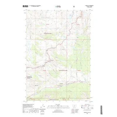
2020 Map of Cooke City
USGS Topo · Published 2020About this map
The high alpine communities of Cooke City and Silver Gate occupy the southern portion of this Beartooth Mountains survey, positioned at a critical transition between several protected wilderness areas. To the west lies the boundary of Yellowstone National Park, while the rest of the landscape is partitioned between the Custer National Forest, Gallatin National Forest, and Shoshone National Forest. The rugged geography is defined by prominent peaks like Scotch Bonnet Mtn and Henderson Mountain, alongside historical mining traces such as the Gold Dust Mine.
Find a feature on this map
108 named features on this map. Tap any name to fly to it.
Don’t see what you’re looking for? This feature index may not catch every label — zoom into the map to look around manually.
Map Details
Editions of this 2020 Cooke City Map
This is the sole edition of this map. No revisions or reprints were ever made.
Other maps of this area

1886 · Canyon
USGS Topo · 1:125,000

1891 · Livingston
USGS Topo · 1:250,000

1893 · Livingston
USGS Topo · 1:250,000

1895 · Canyon
USGS Topo · 1:125,000

1896 · Canyon
USGS Topo · 1:125,000

1896 · Crandall Creek
USGS Topo · 1:125,000

1898 · Granite Mountain District
USGS Topo · 1:125,000

1899 · Crandall
USGS Topo · 1:125,000

1901 · Canyon
USGS Topo · 1:125,000

1907 · Canyon
USGS Topo · 1:125,000