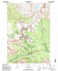
1991 Map of Cooke City
USGS Topo · Published 1996About this map
Cooke City and Silver Gate anchor this high-elevation mountain terrain at the close of the 20th century. This area, straddling the Montana Wyoming border, is a complex of mining legacy and wilderness preservation. Extensive prospects, an Open Pit Mine, and an adit are concentrated around Henderson Mountain and Scotch Bonnet Mountain, indicating the persistent mineral interests that originally founded these high-country outposts. These industrial markings stand in stark contrast to the surrounding Absaroka Beartooth Wilderness.
Find a feature on this map
66 named features on this map. Tap any name to fly to it.
Don’t see what you’re looking for? This feature index may not catch every label — zoom into the map to look around manually.
Map Details
Editions of this 1991 Cooke City Map
This is the sole edition of this map. No revisions or reprints were ever made.
Other maps of this area

1886 · Canyon
USGS Topo · 1:125,000

1891 · Livingston
USGS Topo · 1:250,000

1893 · Livingston
USGS Topo · 1:250,000

1895 · Canyon
USGS Topo · 1:125,000

1896 · Canyon
USGS Topo · 1:125,000

1896 · Crandall Creek
USGS Topo · 1:125,000

1898 · Granite Mountain District
USGS Topo · 1:125,000

1899 · Crandall
USGS Topo · 1:125,000

1901 · Canyon
USGS Topo · 1:125,000

1907 · Canyon
USGS Topo · 1:125,000