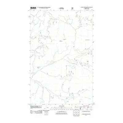
2011 Map of Cooke Mountain
USGS Topo · Published 2011About this map
Cooke Mountain and Belcher Mountain dominate this landscape in northern Ferry County, where the industrial legacy of the region is written into the hillsides. The extraction economy of the early 21st century is evidenced by the presence of the Key East and West Pit Mine and the Kettle River Quarry, situated among a complex network of forest development roads. Three major branches of the Sanpoil River—the North Fork Sanpoil River, Middle Fork Sanpoil River, and South Fork Sanpoil River—cut through the terrain, joined by smaller tributaries like Lambert Creek and Bracken Creek. Local history and land use are reflected in specific road names such as Old Panch House Rd and Wolfe Camp Rd, tracing the paths through Timber Ridge and across the high-elevation slopes of the Okanogan-Wenatchee area.
Find a feature on this map
41 named features on this map. Tap any name to fly to it.
Don’t see what you’re looking for? This feature index may not catch every label — zoom into the map to look around manually.
Map Details
Editions of this 2011 Cooke Mountain Map
This is the sole edition of this map. No revisions or reprints were ever made.
Other maps of this area

1904 · Republic
USGS Topo · 1:125,000

1936 · Marcus
USGS Topo · 1:96,000

1942 · Marcus
USGS Topo · 1:125,000

1948 · Curlew
USGS Topo · 1:62,500

1948 · Republic
USGS Topo · 1:62,500

1948 · Sherman Peak
USGS Topo · 1:62,500

1948 · Togo Mountain
USGS Topo · 1:62,500

1951 · Togo Mountain
USGS Topo · 1:62,500

1951 · Sherman Peak
USGS Topo · 1:62,500

1951 · Curlew
USGS Topo · 1:62,500