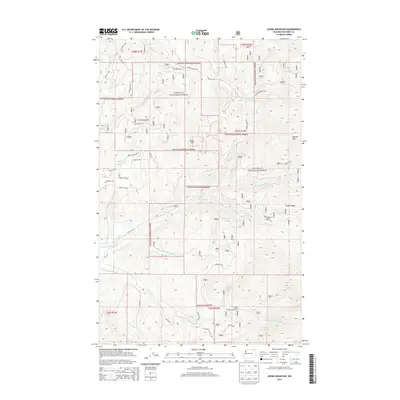
2014 Map of Cooke Mountain
USGS Topo · Published 2014About this map
Colville National Forest dominates this mountain landscape, where the high peaks of Cooke Mtn and Belcher Mtn define the local topography. This area is a critical watershed for the Sanpoil drainage, showing the distinct confluence points of the N Fork Sanpoil River, Middle Fork Sanpoil River, and S Fork Sanpoil River. The map details a complex network of forest development roads, such as Nat For Dev Rd 2165 and NFD 2152 Rd, which carve through the dense timber of Timber Ridge. Notable creeks including Lambert Cr and Bracken Cr cut through the steep terrain, while historical travel routes like Old Kettle Falls E Rd suggest the enduring importance of this passage through Ferry County's high country.
Find a feature on this map
45 named features on this map. Tap any name to fly to it.
Don’t see what you’re looking for? This feature index may not catch every label — zoom into the map to look around manually.
Map Details
Editions of this 2014 Cooke Mountain Map
This is the sole edition of this map. No revisions or reprints were ever made.
Other maps of this area

1904 · Republic
USGS Topo · 1:125,000

1936 · Marcus
USGS Topo · 1:96,000

1942 · Marcus
USGS Topo · 1:125,000

1948 · Curlew
USGS Topo · 1:62,500

1948 · Republic
USGS Topo · 1:62,500

1948 · Sherman Peak
USGS Topo · 1:62,500

1948 · Togo Mountain
USGS Topo · 1:62,500

1951 · Togo Mountain
USGS Topo · 1:62,500

1951 · Sherman Peak
USGS Topo · 1:62,500

1951 · Curlew
USGS Topo · 1:62,500