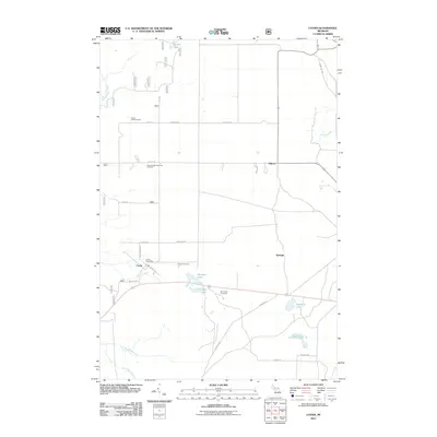
2011 Map of Cooks
USGS Topo · Published 2011About this map
Cooks serves as the central hub of this Upper Peninsula landscape, where the Cooks Post Office and Cooks Cemetery anchor a community defined by its proximity to both forest and wetlands. The surrounding area is dotted with small settlements like Elkhorn and Springer, alongside several family and community burial sites including the Seventh Day Adventist Cemetery and Old Cooks Cemetery. The landscape is notably punctuated by numerous small bodies of water such as Tighe Lake, Michaud Lake, and Ninemile Lake, which feed into local drainages like the Little Fishdam River and Hartman Creek. A legacy of forest management is visible at the Cooks Lookout Tower, while a grid of local roads like Advent Rd and Tanquay Rd provides access to the timberlands and remote homesteads of this Delta County region.
Find a feature on this map
34 named features on this map. Tap any name to fly to it.
Don’t see what you’re looking for? This feature index may not catch every label — zoom into the map to look around manually.
Map Details
Editions of this 2011 Cooks Map
This is the sole edition of this map. No revisions or reprints were ever made.
Other maps of this area

1931 · Cooks NE
USGS Topo · 1:31,680

1931 · Steuben SE
USGS Topo · 1:31,680

1931 · Steuben SW
USGS Topo · 1:31,680

1931 · Cooks NW
USGS Topo · 1:31,680

1932 · Skeels Lake SE
USGS Topo · 1:31,680

1932 · Garden SE
USGS Topo · 1:31,680

1932 · Garden NE
USGS Topo · 1:31,680

1954 · Escanaba
USGS Topo · 1:250,000

1957 · Escanaba
USGS Topo · 1:250,000

1958 · Escanaba
USGS Topo · 1:250,000