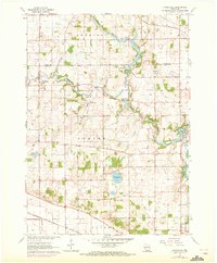
1961 Map of Cooksville
USGS Topo · Published 1972About this map
The Yahara River meanders through the heart of this landscape, its course defining the borders of several south-central Wisconsin townships including Dunkirk, Porter, and Fulton. Settlement patterns here reflect the mid-century agricultural character of Rock and Dane counties, anchored by small communities like Cooksville and Stebbinsville. The infrastructure of the era is evident in the crossings of the Chicago Milwaukee St Paul and Pacific railroad in the north and the Chicago and North Western line in the south.
Find a feature on this map
28 named features on this map. Tap any name to fly to it.
Don’t see what you’re looking for? This feature index may not catch every label — zoom into the map to look around manually.
Map Details
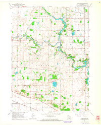
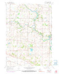
Editions of this 1961 Cooksville Map
3 editions found
Other maps of this area

1889 · Evansville
USGS Topo · 1:62,500

1890 · Stoughton
USGS Topo · 1:62,500

1891 · Janesville
USGS Topo · 1:62,500

1893 · Janesville
USGS Topo · 1:62,500

1893 · Brodhead
USGS Topo · 1:62,500

1894 · Evansville
USGS Topo · 1:62,500

1906 · Evansville
USGS Topo · 1:62,500

1954 · Rockford
USGS Topo · 1:250,000

1955 · Rockford
USGS Topo · 1:250,000

1958 · Rockford
USGS Topo · 1:250,000