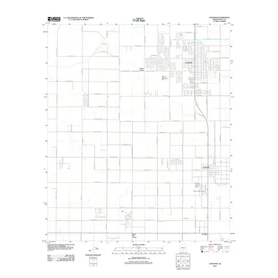
2011 Map of Coolidge
USGS Topo · Published 2011About this map
The city of Coolidge anchors this Pinal County landscape, displaying a dense residential grid punctuated by local landmarks like Clan House 1. To the south, the settlement of Randolph and the Arizona Childrens Colony reflect the region's specialized communities. The geography is defined by a rigid system of section-line roads and irrigation features, most notably the Pima Lateral canal system that supports the local agricultural economy. Named crossroads like Borree Corner and Eleven Mile Corner mark the transition from urban centers to the surrounding open fields, while McClellan Wash cuts across the southeastern portion of the quadrangle. In the south, La Palma stands near the intersection of several regional routes, illustrating the established transport patterns of the early 21st century.
Find a feature on this map
81 named features on this map. Tap any name to fly to it.
Don’t see what you’re looking for? This feature index may not catch every label — zoom into the map to look around manually.
Map Details
Editions of this 2011 Coolidge Map
This is the sole edition of this map. No revisions or reprints were ever made.
Other maps of this area

1900 · Florence
USGS Topo · 1:125,000

1902 · Florence
USGS Topo · 1:125,000

1907 · Sacaton
USGS Topo · 1:62,500

1922 · Red Rock No 2
USGS Topo · 1:48,000

1922 · Signal Peak
USGS Topo · 1:62,500

1924 · Signal Peak
USGS Topo · 1:62,500

1934 · Newman Peak
USGS Topo · 1:125,000

1954 · Mesa
USGS Topo · 1:250,000

1956 · Tucson
USGS Topo · 1:250,000

1957 · Mesa
USGS Topo · 1:250,000