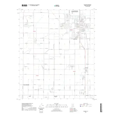
2018 Map of Coolidge
USGS Topo · Published 2018About this map
Casa Grande Ruins National Monument stands as the archaeological anchor of this Pinal County landscape, situated just north of the expanding street grid of Coolidge. This 2018 survey illustrates a region defined by its irrigation infrastructure, where the Pima Lateral and S Side Canal support a vast agricultural patchwork between desert washes. The map details the transition from the concentrated residential blocks of Coolidge and the small community of Randolph to the outlying agricultural areas near Eleven Mile Corner and La Palma. Evidence of the area's ancient and modern reliance on water management is clear in the proximity of prehistoric ruins to modern hydrological features like the McClellan Wash. The grid system of rural roads, including W Vah Ki Inn Rd and W Kenilworth Rd, provides a clear view of land division in this part of the Sonoran Desert.
Find a feature on this map
116 named features on this map. Tap any name to fly to it.
Don’t see what you’re looking for? This feature index may not catch every label — zoom into the map to look around manually.
Map Details
Editions of this 2018 Coolidge Map
This is the sole edition of this map. No revisions or reprints were ever made.
Other maps of this area

1900 · Florence
USGS Topo · 1:125,000

1902 · Florence
USGS Topo · 1:125,000

1907 · Sacaton
USGS Topo · 1:62,500

1922 · Red Rock No 2
USGS Topo · 1:48,000

1922 · Signal Peak
USGS Topo · 1:62,500

1924 · Signal Peak
USGS Topo · 1:62,500

1934 · Newman Peak
USGS Topo · 1:125,000

1954 · Mesa
USGS Topo · 1:250,000

1956 · Tucson
USGS Topo · 1:250,000

1957 · Mesa
USGS Topo · 1:250,000