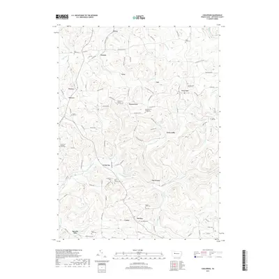
2019 Map of Coolspring
USGS Topo · Published 2019About this map
Coolspring and the surrounding Jefferson County landscape are defined by a dense network of small settlements and rural intersections connected by winding hollow roads. The terrain is deeply carved by the drainage of Little Sandy Creek and Fivemile Run, creating a localized topography where communities like Ramsaytown, Knox Dale, and Sprankle Mills developed along narrow valley floors and ridges. This modern survey provides an exceptional view for genealogists, as it meticulously identifies numerous local burial grounds including the Saint Matthews Evangelical Lutheran Cemetery and the Cliff United Methodist Church Cemetery.
Find a feature on this map
125 named features on this map. Tap any name to fly to it.
Don’t see what you’re looking for? This feature index may not catch every label — zoom into the map to look around manually.
Map Details
Editions of this 2019 Coolspring Map
This is the sole edition of this map. No revisions or reprints were ever made.
Other maps of this area

1906 · Punxsutawney
USGS Topo · 1:62,500

1909 · Smicksburg
USGS Topo · 1:62,500

1922 · Du Bois
USGS Topo · 1:62,500

1924 · Du Bois
USGS Topo · 1:62,500

1924 · Brookville
USGS Topo · 1:62,500

1926 · Brookville
USGS Topo · 1:62,500

1938 · Smicksburg
USGS Topo · 1:62,500

1939 · Smicksburg
USGS Topo · 1:62,500

1939 · Punxsutawney
USGS Topo · 1:62,500

1942 · Punxsutawney
USGS Topo · 1:62,500
Featured Places
- McCalmont Township, PA
- Knox Township, PA
- Pine Creek Township, PA
- Colon, Knox Township
- Tait, Knox Township