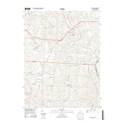
2013 Map of Coolville
USGS Topo · Published 2013About this map
Coolville and the winding Hocking River define the northern portion of this landscape at the confluence of the Ohio River along the West Virginia border. The terrain is characterized by prominent elevations such as Brimstone Ridge and Heiney Ridge, which separate the various creek systems including Fourmile Creek and Indian Run. Small rural settlements like Tuppers Plains and Vanderhoof are scattered throughout, connected by a network of local roads such as Tommy Band Rd and Old State Rd.
Find a feature on this map
158 named features on this map. Tap any name to fly to it.
Don’t see what you’re looking for? This feature index may not catch every label — zoom into the map to look around manually.
Map Details
Editions of this 2013 Coolville Map
This is the sole edition of this map. No revisions or reprints were ever made.
Other maps of this area
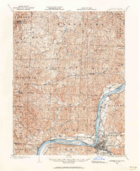
1902 · Parkersburg
USGS Topo · 1:62,500
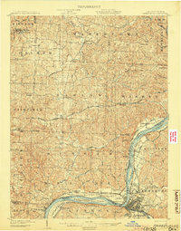
1904 · Parkersburg
USGS Topo · 1:62,500

1904 · Chesterhill
USGS Topo · 1:62,500

1906 · Belleville
USGS Topo · 1:62,500
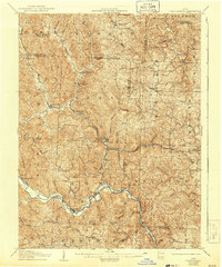
1906 · Chesterhill
USGS Topo · 1:62,500

1907 · Keno
USGS Topo · 1:62,500
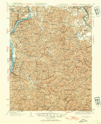
1924 · Belleville
USGS Topo · 1:62,500
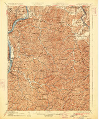
1926 · Belleville
USGS Topo · 1:62,500

1949 · Clarksburg
USGS Topo · 1:250,000

1956 · Clarksburg
USGS Topo · 1:250,000