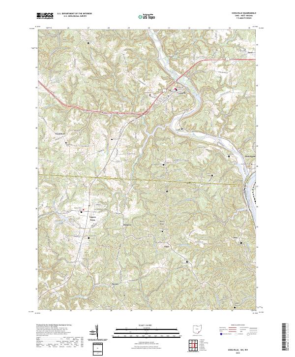
2023 Map of Coolville
USGS Topo · Published 2023About this map
The Hocking River carves a deep path through this corner of Southeast Ohio, marking a significant bend before reaching the Ohio River boundary. The village of Coolville serves as a primary hub, situated near the intersection of several historic routes including Main Street and Water Street. The landscape is defined by its series of high, narrow divides such as Brimstone Ridge, Limberger Ridge, and Heiney Ridge, which separate the various drainages of Fourmile Creek and Wolfpen Creek.
Find a feature on this map
127 named features on this map. Tap any name to fly to it.
Don’t see what you’re looking for? This feature index may not catch every label — zoom into the map to look around manually.
Map Details
Editions of this 2023 Coolville Map
This is the sole edition of this map. No revisions or reprints were ever made.
Other maps of this area

1902 · Parkersburg
USGS Topo · 1:62,500

1904 · Parkersburg
USGS Topo · 1:62,500

1904 · Chesterhill
USGS Topo · 1:62,500

1906 · Belleville
USGS Topo · 1:62,500

1906 · Chesterhill
USGS Topo · 1:62,500

1907 · Keno
USGS Topo · 1:62,500

1924 · Belleville
USGS Topo · 1:62,500

1926 · Belleville
USGS Topo · 1:62,500

1949 · Clarksburg
USGS Topo · 1:250,000

1956 · Clarksburg
USGS Topo · 1:250,000