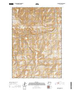
2020 Map of Coombs Canyon
USGS Topo · Published 2020About this map
Coombs Canyon and the surrounding high plateau of Umatilla County are defined by a network of drainage systems and rural access routes. This area, located south of Pendleton, shows a landscape carved by Mud Spring Canyon in the north and dotted with isolated water sources like Crazy John Spring. The map documents the enduring layout of section lines and the specialized local road network that serves the region's agricultural and ranching interests.
Find a feature on this map
20 named features on this map. Tap any name to fly to it.
Don’t see what you’re looking for? This feature index may not catch every label — zoom into the map to look around manually.
Map Details
Editions of this 2020 Coombs Canyon Map
This is the sole edition of this map. No revisions or reprints were ever made.
Other maps of this area

1908 · Umatilla
USGS Topo · 1:125,000

1935 · Pendleton
USGS Topo · 1:125,000

1953 · Pendleton
USGS Topo · 1:250,000

1956 · Pendleton
USGS Topo · 1:250,000

1966 · Mc Kay Reservoir
USGS Topo · 1:24,000

1966 · Pendleton
USGS Topo · 1:24,000
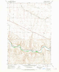
1966 · Barnhart
USGS Topo · 1:24,000
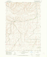
1966 · Coombs Canyon
USGS Topo · 1:24,000

1967 · Nye
USGS Topo · 1:24,000

1967 · Pilot Rock
USGS Topo · 1:24,000