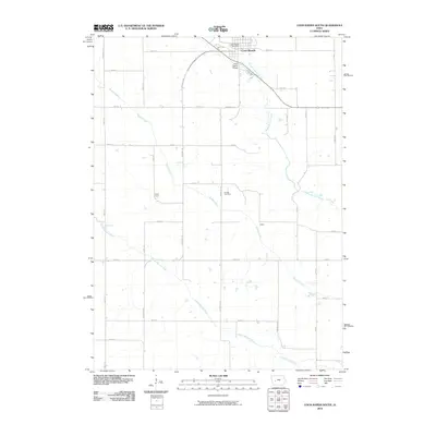
2010 Map of Coon Rapids South
USGS Topo · Published 2010About this map
The Middle Raccoon River and South Raccoon River converge in this agricultural landscape just south of Coon Rapids. The town serves as a focal point in the northern part of the survey, where the Coon Rapids Post Office and the Coon Rapids Bridge link the community across the winding river. The surrounding countryside is defined by a strictly surveyed grid of county roads, including Swift Ave and Dogwood Ave, which connect smaller locales like Tuttle Grove and Eratus. For local historians and genealogists, Orange Cemetery sits centrally between the river forks, and Brushy Creek meanders through the central fields. The layout reflects a long-standing pattern of Iowan land use, where small agrarian settlements and river crossings dictated the placement of rural infrastructure.
Find a feature on this map
31 named features on this map. Tap any name to fly to it.
Don’t see what you’re looking for? This feature index may not catch every label — zoom into the map to look around manually.
Map Details
Editions of this 2010 Coon Rapids South Map
This is the sole edition of this map. No revisions or reprints were ever made.
Other maps of this area

1954 · Omaha
USGS Topo · 1:250,000

1957 · Omaha
USGS Topo · 1:250,000

1957 · Audubon
USGS Topo · 1:62,500

1958 · Omaha
USGS Topo · 1:250,000

1971 · Coon Rapids South
USGS Topo · 1:24,000

1971 · Viola Center
USGS Topo · 1:24,000

1971 · Dedham
USGS Topo · 1:24,000

1971 · Coon Rapids NE
USGS Topo · 1:24,000

1971 · Coon Rapids North
USGS Topo · 1:24,000

1971 · Bayard
USGS Topo · 1:24,000