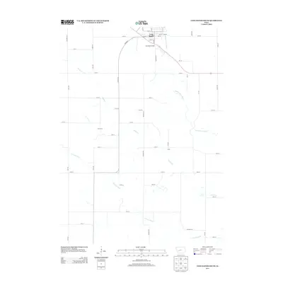
2013 Map of Coon Rapids South
USGS Topo · Published 2013About this map
Coon Rapids serves as the primary hub at the northern edge of this Iowa landscape, where the Coon Rapids Bridge spans the waters of the Middle Raccoon River. This 2013 survey illustrates the agricultural grid of Carroll County, showing how the river systems dictate the placement of rural roads and bridges. To the south, the terrain is defined by the winding paths of Brushy Cr and the S Raccoon River, which cut through the farm plots. Local history is represented by smaller named locales like Tuttle Grove and Eratus, which sit along the township roads. The map captures the intersection of established river crossings and the modern road network, including the path of Highway St and its transition into the rural section lines of the surrounding countryside.
Find a feature on this map
50 named features on this map. Tap any name to fly to it.
Don’t see what you’re looking for? This feature index may not catch every label — zoom into the map to look around manually.
Map Details
Editions of this 2013 Coon Rapids South Map
This is the sole edition of this map. No revisions or reprints were ever made.
Other maps of this area

1954 · Omaha
USGS Topo · 1:250,000

1957 · Omaha
USGS Topo · 1:250,000

1957 · Audubon
USGS Topo · 1:62,500

1958 · Omaha
USGS Topo · 1:250,000

1971 · Coon Rapids South
USGS Topo · 1:24,000

1971 · Viola Center
USGS Topo · 1:24,000

1971 · Dedham
USGS Topo · 1:24,000

1971 · Coon Rapids NE
USGS Topo · 1:24,000

1971 · Coon Rapids North
USGS Topo · 1:24,000

1971 · Bayard
USGS Topo · 1:24,000