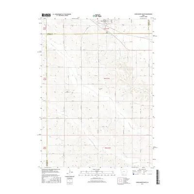
2015 Map of Coon Rapids South
USGS Topo · Published 2015About this map
The Middle Raccoon River and S Raccoon River define the agricultural landscape south of Coon Rapids in this mid-2010s survey. This region sits at a geographical intersection where Carroll, Guthrie, Greene, and Audubon counties meet, a detail reflected in the shifting road grids of Swift Ave and Zephyr Ave. The map documents the rural infrastructure of the early 21st century, from the Po in town to the Coon Rapids Bridge crossing. Local heritage is preserved in the locations of Tuttles Grove Cem and Orange Cem, which stand as landmarks amidst the rolling drainage basins of Brushy Cr. The township and range lines provide a structured view of land division that has persisted since early settlement.
Find a feature on this map
60 named features on this map. Tap any name to fly to it.
Don’t see what you’re looking for? This feature index may not catch every label — zoom into the map to look around manually.
Map Details
Editions of this 2015 Coon Rapids South Map
This is the sole edition of this map. No revisions or reprints were ever made.
Other maps of this area

1954 · Omaha
USGS Topo · 1:250,000

1957 · Omaha
USGS Topo · 1:250,000

1957 · Audubon
USGS Topo · 1:62,500

1958 · Omaha
USGS Topo · 1:250,000

1971 · Coon Rapids South
USGS Topo · 1:24,000

1971 · Viola Center
USGS Topo · 1:24,000

1971 · Dedham
USGS Topo · 1:24,000

1971 · Coon Rapids NE
USGS Topo · 1:24,000

1971 · Coon Rapids North
USGS Topo · 1:24,000

1971 · Bayard
USGS Topo · 1:24,000