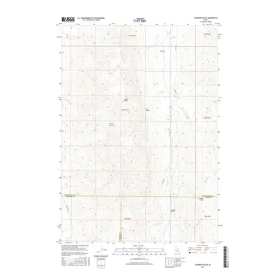
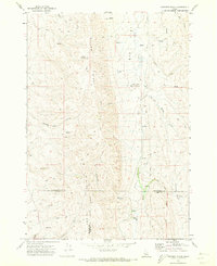
2017 Map of Coonrod Gulch
USGS Topo · Published 2017About this map
The confluence of Payette, Washington, and Gem counties defines this high-elevation corner of Idaho, where the landscape is sculpted by a network of seasonal drainages and springs. The map depicts a transition between upland plateaus like Big Flat and the rugged depressions of Coonrod Gulch and Coonrod Basin. This area is characterized by its vital water sources for ranching and wildlife, including French Spring, Mossman Spring, and Cherry Spring.
Find a feature on this map
28 named features on this map. Tap any name to fly to it.
Don’t see what you’re looking for? This feature index may not catch every label — zoom into the map to look around manually.
Map Details
Editions of this 2017 Coonrod Gulch Map
This is the sole edition of this map. No revisions or reprints were ever made.
Other maps of this area

1894 · Squaw Creek
USGS Topo · 1:125,000

1897 · Weiser
USGS Topo · 1:125,000

1955 · Baker
USGS Topo · 1:250,000

1957 · Crane Creek Reservoir
USGS Topo · 1:62,500

1959 · Baker
USGS Topo · 1:250,000

1970 · Dodson Pass
USGS Topo · 1:24,000
1970 · Hog Cove Butte
USGS Topo · 1:24,000
1970 · Paddock Valley Reservoir
USGS Topo · 1:24,000
1970 · Squaw Butte
USGS Topo · 1:24,000
1970 · Coonrod Gulch
USGS Topo · 1:24,000