
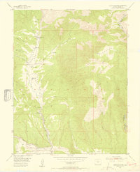
1954 Map of Cooper Mountain
USGS Topo · Published 1955About this map
The Garden Park Dinosaur Monument anchors this mid-century survey of the Fremont County high country, a region where scientific inquiry and ranching life intersect. In the north, the University of Kansas Geology Summer Camp sits along Garden Park Creek, highlighting the area's significance for geological field study. The drainage patterns of Milsap Creek, Felch Creek, and Wilson Creek dictate the placement of local homesteads, including Freek Ranch, Chess Ranch, and Dilley Ranch.
Find a feature on this map
29 named features on this map. Tap any name to fly to it.
Don’t see what you’re looking for? This feature index may not catch every label — zoom into the map to look around manually.
Map Details
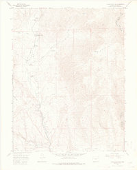
Editions of this 1954 Cooper Mountain Map
3 editions found
Other maps of this area

1889 · Canon City
USGS Topo · 1:125,000

1892 · Canon City
USGS Topo · 1:125,000

1894 · Pikes Peak
USGS Topo · 1:125,000

1901 · Pikes Peak
USGS Topo · 1:125,000

1942 · Cover Mtn.
USGS Topo · 1:62,500

1948 · Cover Mtn.
USGS Topo · 1:62,500

1951 · Cripple Creek South
USGS Topo · 1:24,000

1951 · Big Bull Mountain
USGS Topo · 1:24,000

1954 · Phantom Canyon
USGS Topo · 1:24,000

1954 · Pueblo
USGS Topo · 1:250,000