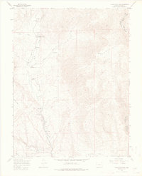
1954 Map of Cooper Mountain
USGS Topo · Published 1976About this map
Cooper Mountain rises above a landscape defined by cattle ranching and geological research during the mid-1950s. The valley floor of Garden Park is dotted with legacy homesteads and functional outposts, including Dilley Ranch, Freek Ranch, and Chess Ranch. This area is a noted hub for scientific discovery, evidenced by the presence of the University of Kansas Geology Summer Camp and the Garden Park Dinosaur Monument, highlighting the region's importance to paleontological study. The map records the infrastructure of the era, such as the Garden Park School and a USFS Emergency Telephone station. Drainage networks like Fourmile Creek and Phantom Canyon carve through the terrain, while the southern reaches open into Sixmile Park, where a ditch and Pump House suggest the essential role of water management for these high-altitude ranching operations.
Find a feature on this map
26 named features on this map. Tap any name to fly to it.
Don’t see what you’re looking for? This feature index may not catch every label — zoom into the map to look around manually.
Map Details
Editions of this 1954 Cooper Mountain Map
3 editions found
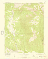
Other maps of this area

1889 · Canon City
USGS Topo · 1:125,000

1892 · Canon City
USGS Topo · 1:125,000

1894 · Pikes Peak
USGS Topo · 1:125,000

1901 · Pikes Peak
USGS Topo · 1:125,000

1942 · Cover Mtn.
USGS Topo · 1:62,500

1948 · Cover Mtn.
USGS Topo · 1:62,500

1951 · Cripple Creek South
USGS Topo · 1:24,000

1951 · Big Bull Mountain
USGS Topo · 1:24,000

1954 · Phantom Canyon
USGS Topo · 1:24,000

1954 · Cooper Mountain
USGS Topo · 1:24,000